Lake in the Hills night lights from space
Night Light of Lake in the Hills (Illinois) from space (United States) Src. Average luminocity for 10x10km area is 69.5591% and for 50x50km: 44.103%.
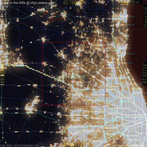
Analysis of Lake in the Hills night lights 2016
Square area 10x10 km:
 8.18%
8.18%90-99
7.73%80-89
12.88%70-79
13.18%60-69
24.85%50-59
26.36%40-49
3.48%30-39
3.33%20-29
0%10-19
0%0-9
0%Square area 50x50 km:
5.24%90-99
6.51%80-89
6.87%70-79
7%60-69
9.39%50-59
11.23%40-49
9.13%30-39
6%20-29
6.54%10-19
6.68%0-9
25.42%Clear (daylight) street map image can be seen on geolist.org.
Map coordinates:
42° 42' 2.1" North, 89° 2' 0.6" West
42° 10' 54.1" North, 88° 19' 49.3" West
41° 39' 30.7" North, 87° 37' 38.1" West
Some cities around Lake in the Hills sort by population:
• Crystal Lake
6.7 km =4.2 mi,  10°
10°
• Carpentersville
9 km =5.6 mi,  138°
138°
• Algonquin
3.5 km =2.2 mi,  121°
121°
• Huntley
8.2 km =5.1 mi,  259°
259°
• Cary
8.3 km =5.2 mi,  66°
66°
• Gilberts
9.4 km =5.8 mi,  201°
201°
• West Dundee
10.1 km =6.3 mi,  157°
157°
• Pingree Grove
14.3 km =8.9 mi,  208°
208°
4899184 (p: 29,024)
Sources (retrieved 2019-11-25):
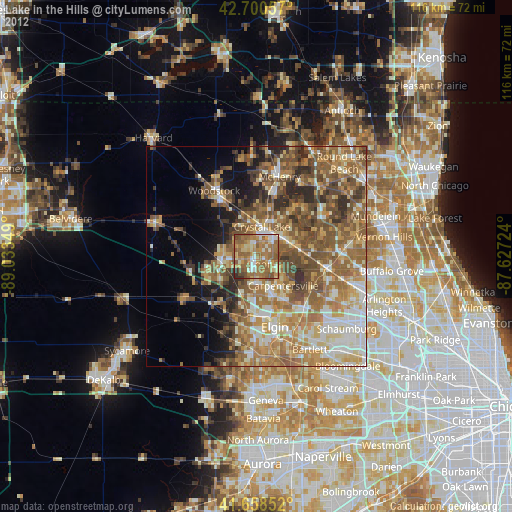
» Earth at Night: Flat Maps 2012, 2016