McHenry night lights from space
Night Light of McHenry (Illinois) from space (United States) Src. Average luminocity for 10x10km area is 49.7063% and for 50x50km: 37.5378%.
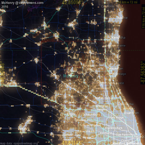
Analysis of McHenry night lights 2016
Square area 10x10 km:
 3.65%
3.65%90-99
6.51%80-89
6.83%70-79
5.08%60-69
8.73%50-59
8.41%40-49
16.03%30-39
19.05%20-29
24.44%10-19
1.27%0-9
0%Square area 50x50 km:
2.82%90-99
3.77%80-89
4.72%70-79
5.72%60-69
8.37%50-59
11.08%40-49
9.98%30-39
7.23%20-29
8.41%10-19
12.14%0-9
25.78%Clear (daylight) street map image can be seen on geolist.org.
Map coordinates:
42° 51' 3.5" North, 88° 58' 11.6" West
42° 20' 0.1" North, 88° 16' 0.3" West
41° 48' 41.1" North, 87° 33' 49.1" West
Some cities around McHenry sort by population:
• Crystal Lake
11 km =6.8 mi,  201°
201°
• Cary
13.7 km =8.5 mi,  170°
170°
• Wauconda
13.4 km =8.3 mi,  128°
128°
• Fox Lake
9.8 km =6.1 mi,  44°
44°
• Island Lake
8.8 km =5.5 mi,  135°
135°
• Johnsburg
5.6 km =3.5 mi,  21°
21°
• Lakemoor
5.6 km =3.5 mi,  95°
95°
• Spring Grove
12.5 km =7.8 mi,  11°
11°
4901663 (p: 26,657)
Sources (retrieved 2019-11-25):
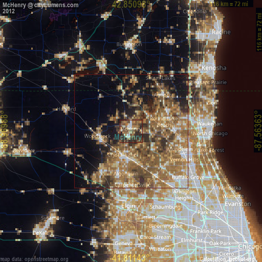
» Earth at Night: Flat Maps 2012, 2016