Woodland Park night lights from space
Night Light of Woodland Park (New Jersey) from space (United States) Src. Average luminocity for 10x10km area is 94.6259% and for 50x50km: 73.3726%.
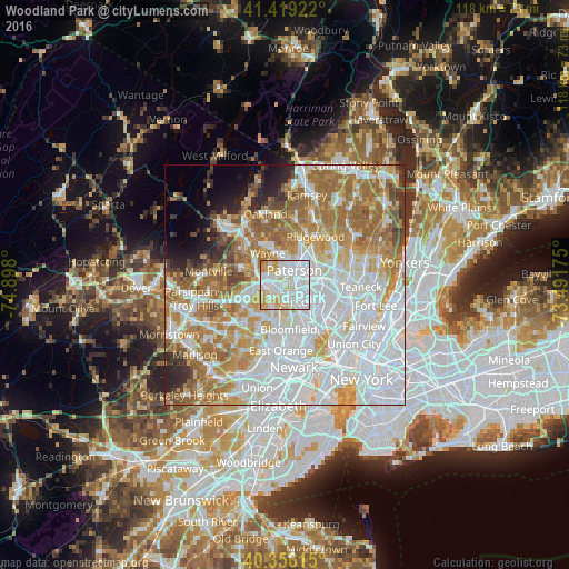
Analysis of Woodland Park night lights 2016
Square area 10x10 km:
 47.96%
90-99
28.57%80-89
15.65%70-79
7.14%60-69
0.68%50-59
0%40-49
0%30-39
0%20-29
0%10-19
0%0-9
0%Square area 50x50 km:
28.55%90-99
16.01%80-89
7.54%70-79
10.14%60-69
12.76%50-59
6.34%40-49
2.94%30-39
2.61%20-29
3.28%10-19
3.01%0-9
6.83%Clear (daylight) street map image can be seen on geolist.org.
Map coordinates:
41° 25' 9.2" North, 74° 53' 52.8" West
40° 53' 23.4" North, 74° 11' 41.5" West
40° 21' 22.1" North, 73° 29' 30.3" West
Some cities around Woodland Park sort by population:
• Paterson
3.6 km =2.2 mi,  32°
32°
• Clifton
4.4 km =2.7 mi,  143°
143°
• Cedar Grove
5.1 km =3.2 mi,  214°
214°
• Upper Montclair
4.9 km =3 mi,  186°
186°
• Totowa
2.1 km =1.3 mi,  323°
323°
• Little Falls
2.6 km =1.6 mi, 205°
• Haledon
5.1 km =3.2 mi,  8°
8°
• Prospect Park
5.5 km =3.4 mi,  18°
18°
5106303 (p: 12,518)
Sources (retrieved 2019-11-25):
» Earth at Night: Flat Maps 2012, 2016