Cedar Grove night lights from space
Night Light of Cedar Grove (New Jersey) from space (United States) Src. Average luminocity for 10x10km area is 91.4354% and for 50x50km: 74.8664%.
Analysis of Cedar Grove night lights 2016
Square area 10x10 km:
 27.04%
90-99
34.52%80-89
22.62%70-79
15.82%60-69
0%50-59
0%40-49
0%30-39
0%20-29
0%10-19
0%0-9
0%Square area 50x50 km:
29.24%90-99
16.24%80-89
8.01%70-79
10.77%60-69
12.14%50-59
6.56%40-49
2.97%30-39
2.56%20-29
3.55%10-19
2.86%0-9
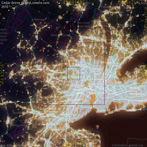
5.09%Clear (daylight) street map image can be seen on geolist.org.
Map coordinates:
41° 22' 53.3" North, 74° 55' 55.8" West
40° 51' 6.4" North, 74° 13' 44.5" West
40° 19' 4" North, 73° 31' 33.3" West
Some cities around Cedar Grove sort by population:
• Montclair
3.3 km =2.1 mi,  149°
149°
• Verona
2.6 km =1.6 mi,  200°
200°
• Woodland Park
5.1 km =3.2 mi,  34°
34°
• Upper Montclair
2.4 km =1.5 mi,  104°
104°
• Little Falls
2.6 km =1.6 mi,  42°
42°
• Brookdale
4.4 km =2.7 mi,  117°
117°
• Caldwell
4.2 km =2.6 mi,  251°
251°
• North Caldwell
2.9 km =1.8 mi,  300°
300°
5096371 (p: 12,457)
Sources (retrieved 2019-11-25):
» Earth at Night: Flat Maps 2012, 2016