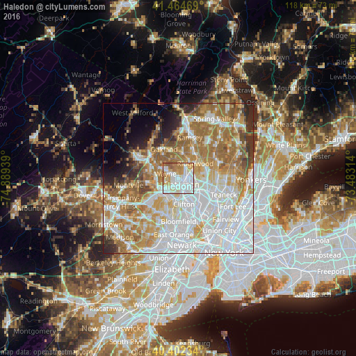
Haledon night lights from space
Night Light of Haledon (New Jersey) from space (United States) Src. Average luminocity for 10x10km area is 89.7925% and for 50x50km: 68.4425%.
Analysis of Haledon night lights 2016
Square area 10x10 km:
 38.44%
90-99
26.53%80-89
9.35%70-79
13.1%60-69
9.69%50-59
2.89%40-49
0%30-39
0%20-29
0%10-19
0%0-9
0%Square area 50x50 km:
24.43%90-99
15.01%80-89
7.03%70-79
9.75%60-69
12.6%50-59
6.78%40-49
3.37%30-39
3.24%20-29
4.13%10-19
3.43%0-9
10.24%Clear (daylight) street map image can be seen on geolist.org.
Map coordinates:
41° 27' 52.9" North, 74° 53' 21.8" West
40° 56' 8.3" North, 74° 11' 10.5" West
40° 24' 8.4" North, 73° 28' 59.3" West
Some cities around Haledon sort by population:
• Paterson
2.4 km =1.5 mi,  149°
149°
• Fair Lawn
4.6 km =2.9 mi,  83°
83°
• Hawthorne
3.1 km =1.9 mi,  61°
61°
• Woodland Park
5.1 km =3.2 mi,  188°
188°
• Glen Rock
5.4 km =3.4 mi, 55°
• Totowa
3.9 km =2.4 mi,  210°
210°
• North Haledon
2.2 km =1.4 mi,  0°
0°
• Prospect Park
1 km =0.6 mi, 81°
5098794 (p: 8,451)
Sources (retrieved 2019-11-25):
» Earth at Night: Flat Maps 2012, 2016