Paterson night lights from space
Night Light of Paterson (New Jersey) from space (United States) Src. Average luminocity for 10x10km area is 96.0357% and for 50x50km: 72.0656%.
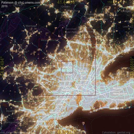
Analysis of Paterson night lights 2016
Square area 10x10 km:
 54.08%
90-99
31.29%80-89
7.82%70-79
6.12%60-69
0.68%50-59
0%40-49
0%30-39
0%20-29
0%10-19
0%0-9
0%Square area 50x50 km:
27.76%90-99
15.79%80-89
7.24%70-79
9.72%60-69
12.56%50-59
6.33%40-49
3.11%30-39
3.15%20-29
3.64%10-19
3.13%0-9
7.57%Clear (daylight) street map image can be seen on geolist.org.
Map coordinates:
41° 26' 45.5" North, 74° 52' 29.8" West
40° 55' 0.4" North, 74° 10' 18.5" West
40° 22' 59.9" North, 73° 28' 7.3" West
Some cities around Paterson sort by population:
• Fair Lawn
4.3 km =2.7 mi,  52°
52°
• Elmwood Park
4.7 km =2.9 mi,  107°
107°
• Hawthorne
3.9 km =2.4 mi,  22°
22°
• Woodland Park
3.6 km =2.2 mi,  212°
212°
• Totowa
3.5 km =2.2 mi,  247°
247°
• North Haledon
4.4 km =2.7 mi,  344°
344°
• Haledon
2.4 km =1.5 mi,  329°
329°
• Prospect Park
2.3 km =1.4 mi,  354°
354°
5102466 (p: 147,754)
Sources (retrieved 2019-11-25):
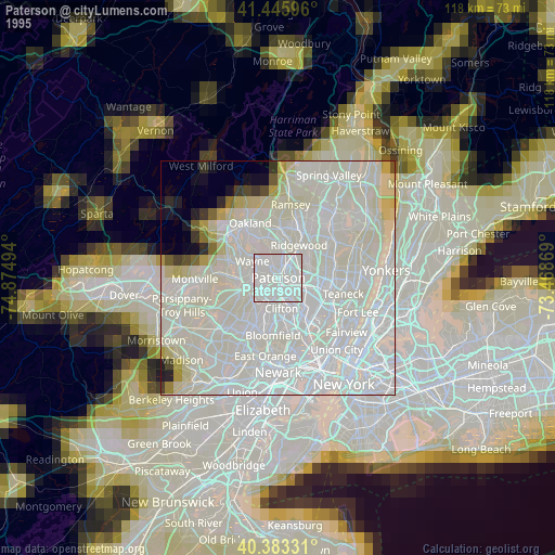
» NASA, Earths city lights 1995
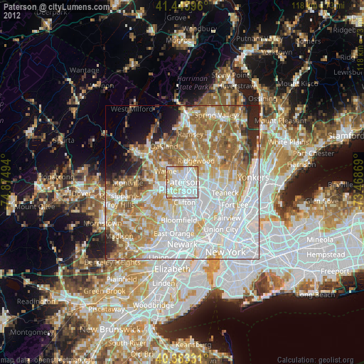
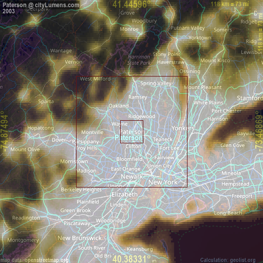
» NASA city lights 2003
» Earth at Night: Flat Maps 2012, 2016