Little Falls night lights from space
Night Light of Little Falls (New Jersey) from space (United States) Src. Average luminocity for 10x10km area is 94.0782% and for 50x50km: 74.6088%.
Analysis of Little Falls night lights 2016
Square area 10x10 km:
 37.59%
90-99
35.37%80-89
19.39%70-79
7.65%60-69
0%50-59
0%40-49
0%30-39
0%20-29
0%10-19
0%0-9
0%Square area 50x50 km:
29.24%90-99
15.97%80-89
7.94%70-79
10.48%60-69
12.82%50-59
6.67%40-49
2.84%30-39
2.3%20-29
3.22%10-19
2.86%0-9
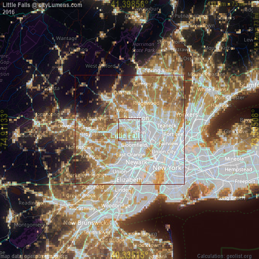
5.66%Clear (daylight) street map image can be seen on geolist.org.
Map coordinates:
41° 23' 54.8" North, 74° 54' 40.8" West
40° 52' 8.4" North, 74° 12' 29.5" West
40° 20' 6.5" North, 73° 30' 18.3" West
Some cities around Little Falls sort by population:
• Clifton
3.9 km =2.4 mi,  107°
107°
• Montclair
4.8 km =3 mi,  180°
180°
• Woodland Park
2.6 km =1.6 mi,  25°
25°
• Cedar Grove
2.6 km =1.6 mi,  222°
222°
• Upper Montclair
2.6 km =1.6 mi,  167°
167°
• Totowa
4 km =2.5 mi,  357°
357°
• Brookdale
4.5 km =2.8 mi,  151°
151°
• North Caldwell
4.2 km =2.6 mi,  263°
263°
5100540 (p: 10,688)
Sources (retrieved 2019-11-25):
» Earth at Night: Flat Maps 2012, 2016