Windham night lights from space
Night Light of Windham (Connecticut) from space (United States) Src. Average luminocity for 10x10km area is 15.4935% and for 50x50km: 9.8757%.
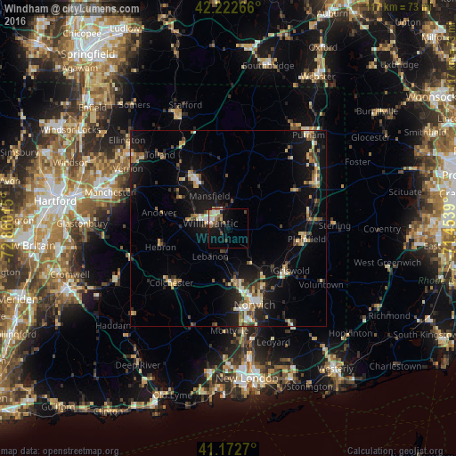
Analysis of Windham night lights 2016
Square area 10x10 km:
 1.95%
1.95%90-99
2.44%80-89
3.41%70-79
0%60-69
3.25%50-59
1.95%40-49
1.95%30-39
1.46%20-29
2.92%10-19
11.85%0-9
68.83%Square area 50x50 km:
0.73%90-99
1.2%80-89
1.61%70-79
1.03%60-69
1.24%50-59
1.19%40-49
1.3%30-39
1.2%20-29
2.94%10-19
9.52%0-9
78.03%Clear (daylight) street map image can be seen on geolist.org.
Map coordinates:
42° 13' 21.6" North, 72° 51' 36.5" West
41° 41' 59.4" North, 72° 9' 25.3" West
41° 10' 21.7" North, 71° 27' 14" West
Some cities around Windham sort by population:
• Norwich
20.7 km =12.9 mi,  160°
160°
• Mansfield City
9.7 km =6 mi,  319°
319°
• Montville Center
24.6 km =15.3 mi,  178°
178°
• Willimantic
4.4 km =2.7 mi,  285°
285°
• Plainfield
20.3 km =12.6 mi,  97°
97°
• Storrs
14.3 km =8.9 mi,  327°
327°
• Tolland
25.9 km =16.1 mi, 317°
• Hebron
18 km =11.2 mi,  254°
254°
4845898 (p: 23,072)
Sources (retrieved 2019-11-25):
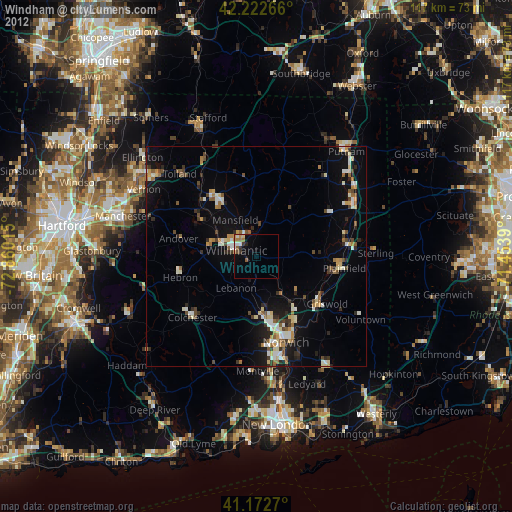
» Earth at Night: Flat Maps 2012, 2016