Montville Center night lights from space
Night Light of Montville Center (Connecticut) from space (United States) Src. Average luminocity for 10x10km area is 26.0884% and for 50x50km: 14.0672%.
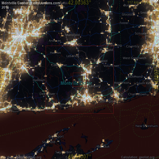
Analysis of Montville Center night lights 2016
Square area 10x10 km:
 3.57%
3.57%90-99
3.4%80-89
4.25%70-79
1.7%60-69
3.74%50-59
3.91%40-49
5.61%30-39
2.04%20-29
10.88%10-19
18.88%0-9
42.01%Square area 50x50 km:
1.18%90-99
1.82%80-89
2.06%70-79
1.66%60-69
1.53%50-59
1.91%40-49
2.27%30-39
2.38%20-29
5.13%10-19
11.36%0-9
68.7%Clear (daylight) street map image can be seen on geolist.org.
Map coordinates:
42° 0' 13.1" North, 72° 51' 15.6" West
41° 28' 44.4" North, 72° 9' 4.3" West
40° 57' 0.3" North, 71° 26' 53.1" West
Some cities around Montville Center sort by population:
• Norwich
8 km =5 mi,  51°
51°
• New London
14.4 km =8.9 mi,  162°
162°
• Windham
24.6 km =15.3 mi,  358°
358°
• Waterford
15.3 km =9.5 mi,  175°
175°
• Ledyard
12.2 km =7.6 mi,  110°
110°
• Groton
15.6 km =9.7 mi, 157°
• East Haddam
26 km =16.2 mi,  263°
263°
• Conning Towers-Nautilus Park
12.5 km =7.8 mi,  146°
146°
4838887 (p: 20,180)
Sources (retrieved 2019-11-25):
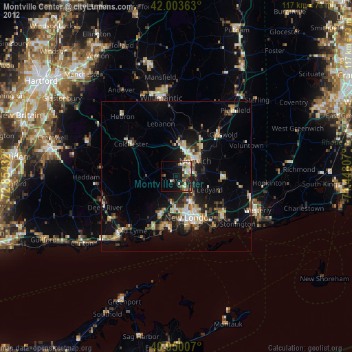
» Earth at Night: Flat Maps 2012, 2016