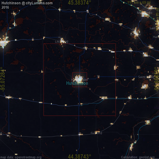
Hutchinson night lights from space
Night Light of Hutchinson (Minnesota) from space (United States) Src. Average luminocity for 10x10km area is 30.846% and for 50x50km: 2.5577%.
Analysis of Hutchinson night lights 2016
Square area 10x10 km:
 7.3%
7.3%90-99
8.41%80-89
3.33%70-79
0.32%60-69
3.02%50-59
2.38%40-49
1.9%30-39
0.48%20-29
4.6%10-19
38.41%0-9
29.84%Square area 50x50 km:
0.34%90-99
0.53%80-89
0.41%70-79
0.21%60-69
0.26%50-59
0.2%40-49
0.21%30-39
0.18%20-29
0.47%10-19
1.73%0-9
95.47%Clear (daylight) street map image can be seen on geolist.org.
Map coordinates:
45° 23' 1.5" North, 95° 4' 22.2" West
44° 53' 15.9" North, 94° 22' 11" West
44° 23' 14.7" North, 93° 39' 59.7" West
Some cities around Hutchinson sort by population:
• Buffalo
50.1 km =31.1 mi,  50°
50°
• Waconia
46.1 km =28.6 mi,  95°
95°
• Mound
55.7 km =34.6 mi,  84°
84°
• Victoria
55.9 km =34.7 mi,  93°
93°
• Minnetrista
51.6 km =32.1 mi, 83°
• Litchfield
29.4 km =18.3 mi,  334°
334°
• Delano
48.8 km =30.3 mi,  69°
69°
• Glencoe
21.7 km =13.5 mi,  127°
127°
5030977 (p: 13,913)
Sources (retrieved 2019-11-25):
» Earth at Night: Flat Maps 2012, 2016