Saint Cloud night lights from space
Night Light of Saint Cloud (Minnesota) from space (United States) Src. Average luminocity for 10x10km area is 67.1985% and for 50x50km: 7.3068%.
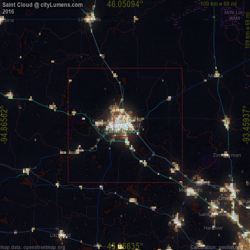
Analysis of Saint Cloud night lights 2016
Square area 10x10 km:
 18.48%
90-99
18.79%80-89
5.91%70-79
7.42%60-69
7.12%50-59
11.67%40-49
6.36%30-39
8.48%20-29
9.7%10-19
6.06%0-9
0%Square area 50x50 km:
1.05%90-99
1.3%80-89
0.63%70-79
0.96%60-69
0.8%50-59
1.2%40-49
1.17%30-39
1.21%20-29
2.04%10-19
3.84%0-9
85.8%Clear (daylight) street map image can be seen on geolist.org.
Map coordinates:
46° 3' 3.4" North, 94° 51' 56.2" West
45° 33' 38.9" North, 94° 9' 45" West
45° 3' 58.9" North, 93° 27' 33.7" West
Some cities around Saint Cloud sort by population:
• Sartell
7.6 km =4.7 mi,  332°
332°
• Buffalo
48.7 km =30.3 mi,  152°
152°
• Sauk Rapids
3.5 km =2.2 mi,  355°
355°
• Monticello
40.4 km =25.1 mi,  134°
134°
• Big Lake
41.2 km =25.6 mi, 128°
• Little Falls
48.7 km =30.3 mi,  341°
341°
• Waite Park
4.8 km =3 mi,  265°
265°
• Zimmerman
46.5 km =28.9 mi,  106°
106°
5044407 (p: 65,842)
Sources (retrieved 2019-11-25):
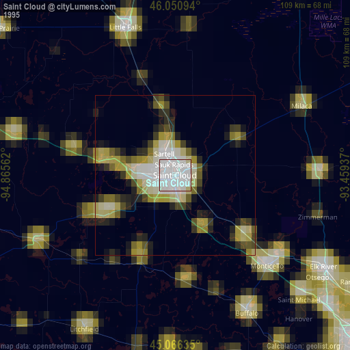
» NASA, Earths city lights 1995
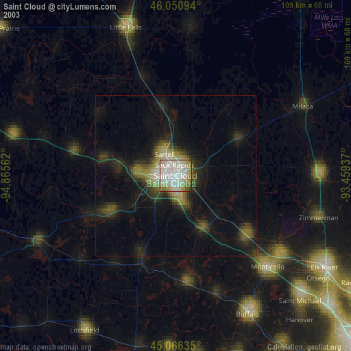
» NASA city lights 2003
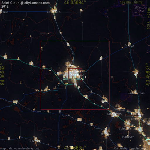
» Earth at Night: Flat Maps 2012, 2016