Willingboro night lights from space
Night Light of Willingboro (New Jersey) from space (United States) Src. Average luminocity for 10x10km area is 77.1412% and for 50x50km: 65.1385%.
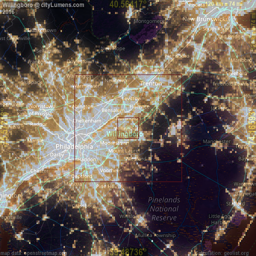
Analysis of Willingboro night lights 2016
Square area 10x10 km:
 10.23%
90-99
12.66%80-89
19.64%70-79
22.24%60-69
25.49%50-59
7.79%40-49
1.95%30-39
0%20-29
0%10-19
0%0-9
0%Square area 50x50 km:
18.13%90-99
14.77%80-89
10.11%70-79
11.26%60-69
9.89%50-59
6.71%40-49
4.75%30-39
3.5%20-29
3.97%10-19
8.44%0-9
8.48%Clear (daylight) street map image can be seen on geolist.org.
Map coordinates:
40° 33' 51" North, 75° 34' 19.8" West
40° 1' 40.4" North, 74° 52' 8.6" West
39° 29' 14.5" North, 74° 9' 57.3" West
Some cities around Willingboro sort by population:
• Mount Laurel
10.6 km =6.6 mi,  190°
190°
• Cinnaminson
11.1 km =6.9 mi,  251°
251°
• Moorestown-Lenola
10.7 km =6.6 mi,  229°
229°
• Mount Holly
7.9 km =4.9 mi,  119°
119°
• Croydon
7.2 km =4.5 mi,  336°
336°
• Burlington
4.8 km =3 mi,  4°
4°
• Bristol
8.2 km =5.1 mi,  10°
10°
• Edgewater Park
5.2 km =3.2 mi,  328°
328°
5106453 (p: 31,668)
Sources (retrieved 2019-11-25):
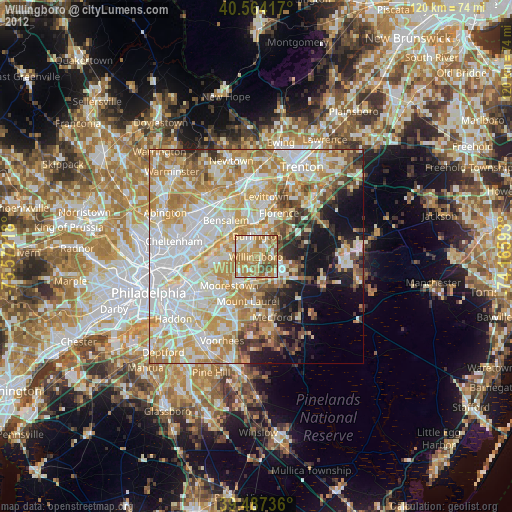
» Earth at Night: Flat Maps 2012, 2016