Mount Laurel night lights from space
Night Light of Mount Laurel (New Jersey) from space (United States) Src. Average luminocity for 10x10km area is 73.1888% and for 50x50km: 60.1117%.
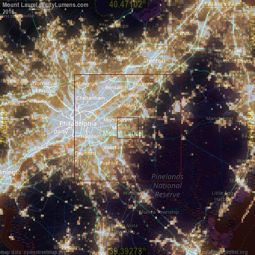
Analysis of Mount Laurel night lights 2016
Square area 10x10 km:
 10.71%
90-99
13.27%80-89
9.86%70-79
18.88%60-69
24.32%50-59
15.65%40-49
4.76%30-39
2.55%20-29
0%10-19
0%0-9
0%Square area 50x50 km:
17.41%90-99
13.47%80-89
9.26%70-79
10.87%60-69
7.94%50-59
4.94%40-49
4.88%30-39
3.78%20-29
3.93%10-19
8.42%0-9
15.11%Clear (daylight) street map image can be seen on geolist.org.
Map coordinates:
40° 28' 15.7" North, 75° 35' 38.9" West
39° 56' 2.4" North, 74° 53' 27.6" West
39° 23' 33.8" North, 74° 11' 16.4" West
Some cities around Mount Laurel sort by population:
• Maple Shade
8.9 km =5.5 mi,  283°
283°
• Springdale
7.3 km =4.5 mi,  241°
241°
• Moorestown-Lenola
7.2 km =4.5 mi,  299°
299°
• Cherry Hill Mall
10.1 km =6.3 mi,  271°
271°
• Greentree
6.9 km =4.3 mi,  233°
233°
• Marlton
5.4 km =3.4 mi,  208°
208°
• Ramblewood
4.5 km =2.8 mi,  262°
262°
• Kingston Estates
8.3 km =5.2 mi, 262°
4503136 (p: 41,864)
Sources (retrieved 2019-11-25):
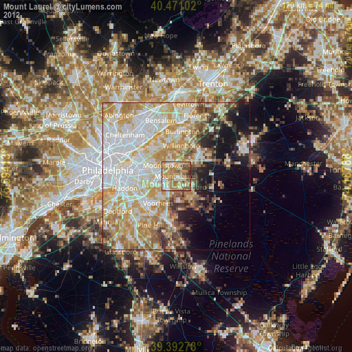
» Earth at Night: Flat Maps 2012, 2016