Wildwood night lights from space
Night Light of Wildwood (Missouri) from space (United States) Src. Average luminocity for 10x10km area is 33.7922% and for 50x50km: 40.7079%.
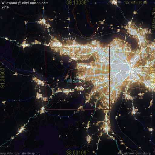
Analysis of Wildwood night lights 2016
Square area 10x10 km:
 1.62%
1.62%90-99
3.08%80-89
4.87%70-79
5.19%60-69
6.01%50-59
9.09%40-49
5.19%30-39
6.49%20-29
14.94%10-19
20.94%0-9
22.56%Square area 50x50 km:
6.54%90-99
7.34%80-89
6.14%70-79
9.58%60-69
7.73%50-59
5.44%40-49
3.46%30-39
4.74%20-29
5.46%10-19
9.88%0-9
33.7%Clear (daylight) street map image can be seen on geolist.org.
Map coordinates:
39° 7' 49.3" North, 91° 21' 57.7" West
38° 34' 58.2" North, 90° 39' 46.4" West
38° 1' 51.9" North, 89° 57' 35.2" West
Some cities around Wildwood sort by population:
• Chesterfield
11.6 km =7.2 mi,  39°
39°
• Ballwin
10.2 km =6.3 mi,  82°
82°
• Manchester
13.4 km =8.3 mi, 83°
• Eureka
9.4 km =5.8 mi,  161°
161°
• Ellisville
6.7 km =4.2 mi, 80°
• Pacific
13.1 km =8.1 mi,  211°
211°
• Valley Park
15.3 km =9.5 mi,  104°
104°
• Weldon Spring
14.7 km =9.1 mi,  351°
351°
4414749 (p: 35,899)
Sources (retrieved 2019-11-25):
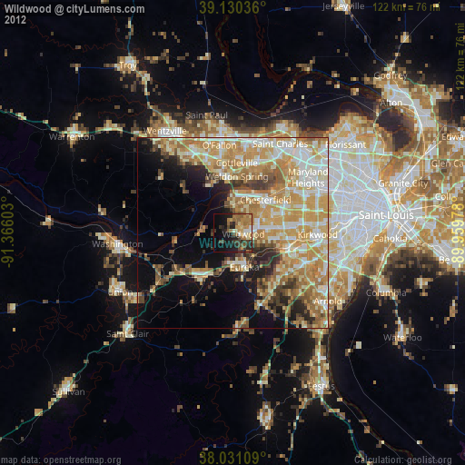
» Earth at Night: Flat Maps 2012, 2016