Ballwin night lights from space
Night Light of Ballwin (Missouri) from space (United States) Src. Average luminocity for 10x10km area is 75.5422% and for 50x50km: 56.3733%.
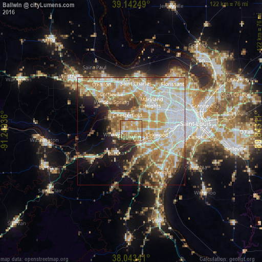
Analysis of Ballwin night lights 2016
Square area 10x10 km:
 12.18%
90-99
10.88%80-89
13.64%70-79
32.95%60-69
18.34%50-59
3.9%40-49
4.55%30-39
2.11%20-29
1.46%10-19
0%0-9
0%Square area 50x50 km:
13.8%90-99
12.54%80-89
8.45%70-79
10.98%60-69
8.78%50-59
5.86%40-49
3.5%30-39
4.43%20-29
5.49%10-19
8.9%0-9
17.26%Clear (daylight) street map image can be seen on geolist.org.
Map coordinates:
39° 8' 33" North, 91° 14' 57.7" West
38° 35' 42.2" North, 90° 32' 46.4" West
38° 2' 36.3" North, 89° 50' 35.2" West
Some cities around Ballwin sort by population:
• Chesterfield
8 km =5 mi,  340°
340°
• Wildwood
10.2 km =6.3 mi,  262°
262°
• Kirkwood
12.2 km =7.6 mi,  96°
96°
• Manchester
3.2 km =2 mi,  86°
86°
• Town and Country
7.4 km =4.6 mi,  75°
75°
• Ellisville
3.6 km =2.2 mi,  265°
265°
• Des Peres
9.9 km =6.2 mi, 86°
• Valley Park
6.9 km =4.3 mi,  137°
137°
4375663 (p: 30,577)
Sources (retrieved 2019-11-25):
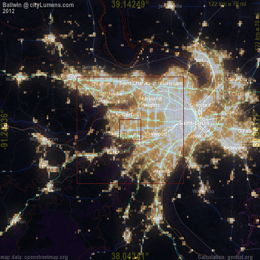
» Earth at Night: Flat Maps 2012, 2016