Whitehall Township night lights from space
Night Light of Whitehall Township (Pennsylvania) from space (United States) Src. Average luminocity for 10x10km area is 59.3231% and for 50x50km: 27.379%.
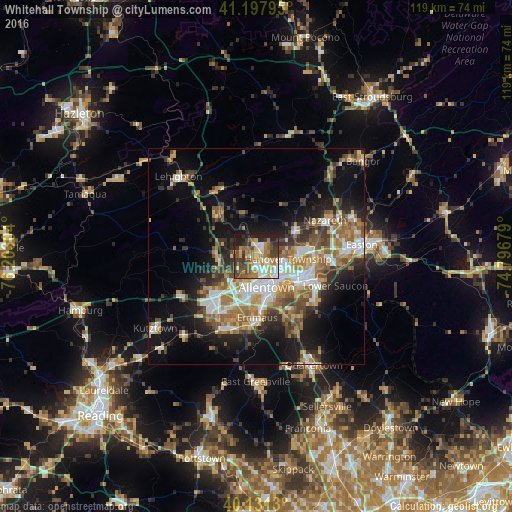
Analysis of Whitehall Township night lights 2016
Square area 10x10 km:
 9.9%
9.9%90-99
9.74%80-89
7.31%70-79
9.42%60-69
14.29%50-59
8.44%40-49
12.01%30-39
11.85%20-29
9.58%10-19
7.47%0-9
0%Square area 50x50 km:
4.29%90-99
4.36%80-89
2.98%70-79
3.57%60-69
4.97%50-59
4.51%40-49
4.03%30-39
4.84%20-29
5.78%10-19
13.45%0-9
47.23%Clear (daylight) street map image can be seen on geolist.org.
Map coordinates:
41° 11' 52.6" North, 76° 12' 10.9" West
40° 40' 0.3" North, 75° 29' 59.7" West
40° 7' 52.7" North, 74° 47' 48.4" West
Some cities around Whitehall Township sort by population:
• Allentown
6.5 km =4 mi,  172°
172°
• Bethlehem
11.8 km =7.3 mi,  112°
112°
• Fullerton
4.5 km =2.8 mi,  149°
149°
• Emmaus
14.1 km =8.8 mi,  178°
178°
• Northampton
2.2 km =1.4 mi,  6°
6°
• Middletown
14.4 km =8.9 mi,  100°
100°
• Catasauqua
2.5 km =1.6 mi,  121°
121°
• Wescosville
12 km =7.5 mi,  201°
201°
5219287 (p: 24,896)
Sources (retrieved 2019-11-25):
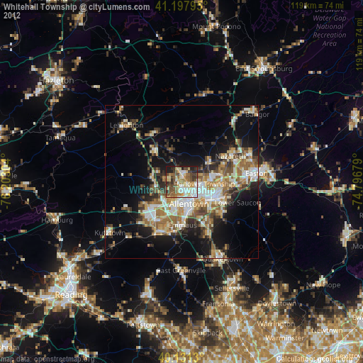
» Earth at Night: Flat Maps 2012, 2016