Bethlehem night lights from space
Night Light of Bethlehem (Pennsylvania) from space (United States) Src. Average luminocity for 10x10km area is 79.1964% and for 50x50km: 28.1452%.
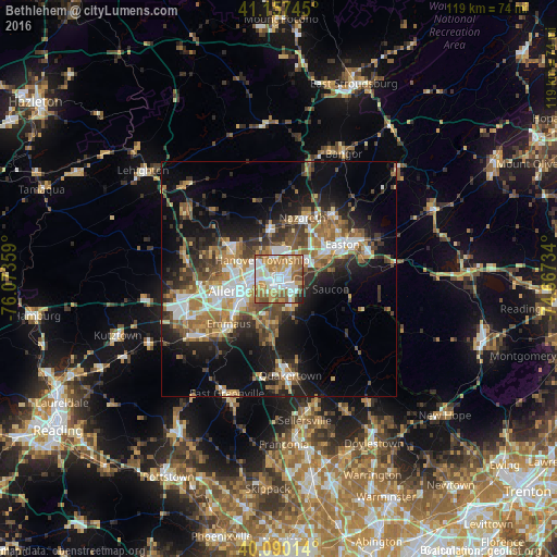
Analysis of Bethlehem night lights 2016
Square area 10x10 km:
 18.02%
90-99
22.24%80-89
10.71%70-79
13.47%60-69
18.83%50-59
11.53%40-49
3.08%30-39
0.81%20-29
1.3%10-19
0%0-9
0%Square area 50x50 km:
4.47%90-99
4.39%80-89
2.83%70-79
3.62%60-69
5.35%50-59
4.73%40-49
4.15%30-39
5.06%20-29
6.4%10-19
13.47%0-9
45.52%Clear (daylight) street map image can be seen on geolist.org.
Map coordinates:
41° 9' 26.8" North, 76° 4' 24.9" West
40° 37' 33.3" North, 75° 22' 13.7" West
40° 5' 24.5" North, 74° 40' 2.4" West
Some cities around Bethlehem sort by population:
• Allentown
10.3 km =6.4 mi,  259°
259°
• Whitehall Township
11.8 km =7.3 mi,  292°
292°
• Fullerton
8.7 km =5.4 mi,  274°
274°
• Northampton
12.6 km =7.8 mi,  302°
302°
• Wilson
12.6 km =7.8 mi,  59°
59°
• Middletown
3.8 km =2.4 mi, 57°
• Catasauqua
9.4 km =5.8 mi, 290°
• Hellertown
5.7 km =3.5 mi,  154°
154°
5180225 (p: 74,892)
Sources (retrieved 2019-11-25):
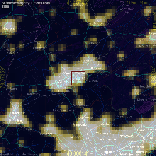
» NASA, Earths city lights 1995
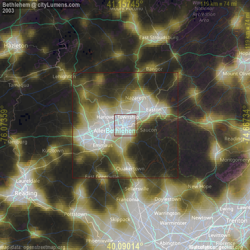
» NASA city lights 2003
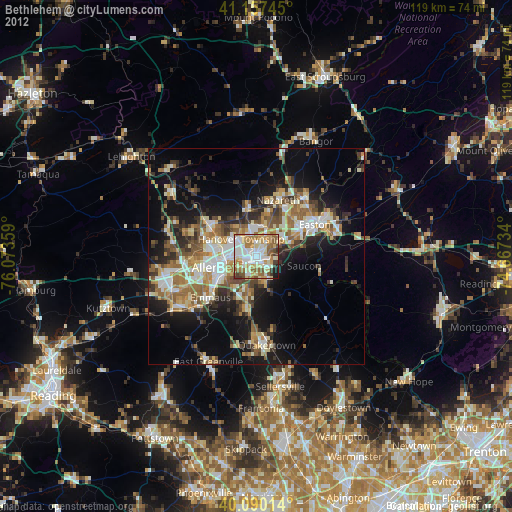
» Earth at Night: Flat Maps 2012, 2016