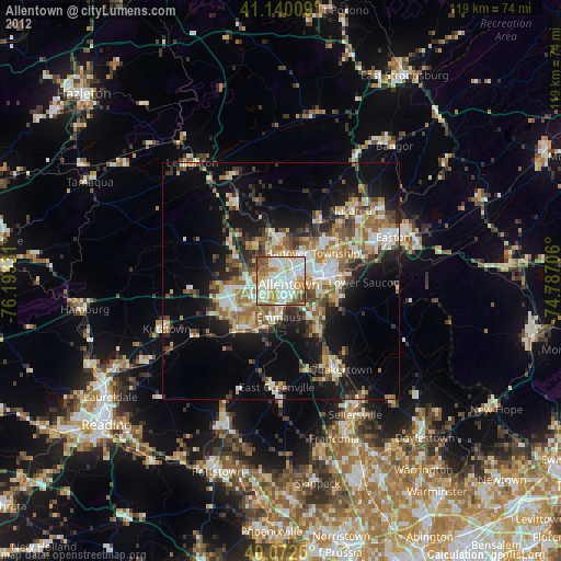
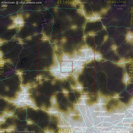
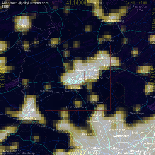
Allentown night lights from space
Night Light of Allentown (Pennsylvania) from space (United States) Src. Average luminocity for 10x10km area is 86.3393% and for 50x50km: 28.3973%.
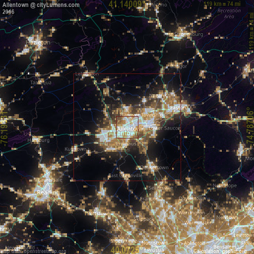
Analysis of Allentown night lights 2016
Square area 10x10 km:
 28.57%
90-99
31.01%80-89
9.25%70-79
11.2%60-69
8.93%50-59
6.01%40-49
4.38%30-39
0.65%20-29
0%10-19
0%0-9
0%Square area 50x50 km:
4.45%90-99
4.46%80-89
2.91%70-79
3.76%60-69
5.25%50-59
4.59%40-49
3.98%30-39
5.02%20-29
6.49%10-19
14.57%0-9
44.52%Clear (daylight) street map image can be seen on geolist.org.
Map coordinates:
41° 8' 24.3" North, 76° 11' 35.9" West
40° 36' 30.3" North, 75° 29' 24.6" West
40° 4' 21" North, 74° 47' 13.4" West
Some cities around Allentown sort by population:
• Bethlehem
10.3 km =6.4 mi,  79°
79°
• Whitehall Township
6.5 km =4 mi,  352°
352°
• Fullerton
3 km =1.9 mi,  28°
28°
• Emmaus
7.7 km =4.8 mi,  184°
184°
• Northampton
8.7 km =5.4 mi,  356°
356°
• Ancient Oaks
10.8 km =6.7 mi,  230°
230°
• Catasauqua
5.3 km =3.3 mi,  14°
14°
• Wescosville
7 km =4.3 mi, 228°
5178127 (p: 120,207)
Sources (retrieved 2019-11-25):
» NASA, Earths city lights 1995
» NASA city lights 2003
» Earth at Night: Flat Maps 2012, 2016