Prospect Heights night lights from space
Night Light of Prospect Heights (Illinois) from space (United States) Src. Average luminocity for 10x10km area is 92.0197% and for 50x50km: 70.6518%.
Analysis of Prospect Heights night lights 2016
Square area 10x10 km:
 25.15%
90-99
38.03%80-89
26.67%70-79
9.55%60-69
0.61%50-59
0%40-49
0%30-39
0%20-29
0%10-19
0%0-9
0%Square area 50x50 km:
26.17%90-99
16.36%80-89
9.5%70-79
7.67%60-69
9.36%50-59
7.76%40-49
5.38%30-39
2.78%20-29
3.18%10-19
2.15%0-9
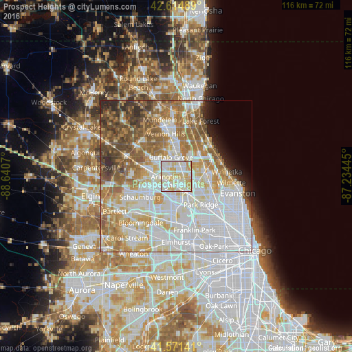
9.67%Clear (daylight) street map image can be seen on geolist.org.
Map coordinates:
42° 36' 53.6" North, 88° 38' 26.5" West
42° 5' 43.1" North, 87° 56' 15.3" West
41° 34' 17.1" North, 87° 14' 4" West
Some cities around Prospect Heights sort by population:
• Arlington Heights
3.6 km =2.2 mi,  257°
257°
• Palatine
8.1 km =5 mi,  281°
281°
• Des Plaines
8.2 km =5.1 mi,  147°
147°
• Mount Prospect
3.2 km =2 mi,  179°
179°
• Buffalo Grove
6.5 km =4 mi,  343°
343°
• Wheeling
4.9 km =3 mi,  8°
8°
• Northbrook
9.6 km =6 mi,  68°
68°
• Rolling Meadows
6.4 km =4 mi, 258°
4906882 (p: 16,386)
Sources (retrieved 2019-11-25):
» Earth at Night: Flat Maps 2012, 2016