Long Grove night lights from space
Night Light of Long Grove (Illinois) from space (United States) Src. Average luminocity for 10x10km area is 79.0621% and for 50x50km: 67.1118%.
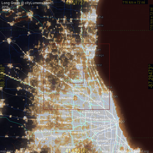
Analysis of Long Grove night lights 2016
Square area 10x10 km:
 20%
20%90-99
18.48%80-89
10.61%70-79
13.48%60-69
16.97%50-59
19.85%40-49
0.61%30-39
0%20-29
0%10-19
0%0-9
0%Square area 50x50 km:
17.59%90-99
15.08%80-89
9.67%70-79
9.02%60-69
11.93%50-59
11%40-49
7.71%30-39
4.03%20-29
4.16%10-19
2.18%0-9
7.64%Clear (daylight) street map image can be seen on geolist.org.
Map coordinates:
42° 41' 50.2" North, 88° 42' 3.5" West
42° 10' 42.1" North, 87° 59' 52.3" West
41° 39' 18.6" North, 87° 17' 41" West
Some cities around Long Grove sort by population:
• Palatine
8.1 km =5 mi,  201°
201°
• Buffalo Grove
4.3 km =2.7 mi,  133°
133°
• Wheeling
7.2 km =4.5 mi, 127°
• Vernon Hills
4.8 km =3 mi,  18°
18°
• Lake Zurich
8.1 km =5 mi,  284°
284°
• Hawthorn Woods
6 km =3.7 mi,  315°
315°
• Lincolnshire
7.5 km =4.7 mi,  80°
80°
• Fairfield
6.9 km =4.3 mi,  310°
310°
4900416 (p: 8,166)
Sources (retrieved 2019-11-25):
» Earth at Night: Flat Maps 2012, 2016