New Britain night lights from space
Night Light of New Britain (Connecticut) from space (United States) Src. Average luminocity for 10x10km area is 72.6721% and for 50x50km: 43.9338%.
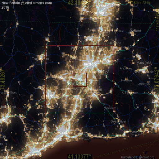
Analysis of New Britain night lights 2016
Square area 10x10 km:
 17.05%
90-99
19.97%80-89
6.33%70-79
12.99%60-69
11.69%50-59
11.69%40-49
6.82%30-39
10.39%20-29
3.08%10-19
0%0-9
0%Square area 50x50 km:
6.09%90-99
6.54%80-89
6.02%70-79
6.78%60-69
8.82%50-59
9.65%40-49
7.75%30-39
8.17%20-29
9.39%10-19
9.31%0-9
21.5%Clear (daylight) street map image can be seen on geolist.org.
Map coordinates:
42° 11' 3.7" North, 73° 28' 57.6" West
41° 39' 40.4" North, 72° 46' 46.3" West
41° 8' 1.6" North, 72° 4' 35.1" West
Some cities around New Britain sort by population:
• Hartford
13.8 km =8.6 mi,  34°
34°
• West Hartford
11.6 km =7.2 mi,  15°
15°
• Newington
6.2 km =3.9 mi,  48°
48°
• Wethersfield
12.1 km =7.5 mi,  60°
60°
• Farmington
7.8 km =4.8 mi,  326°
326°
• Plainville
6.7 km =4.2 mi,  282°
282°
• Cromwell
13.4 km =8.3 mi,  123°
123°
• Kensington
3 km =1.9 mi,  162°
162°
4839292 (p: 72,808)
Sources (retrieved 2019-11-25):
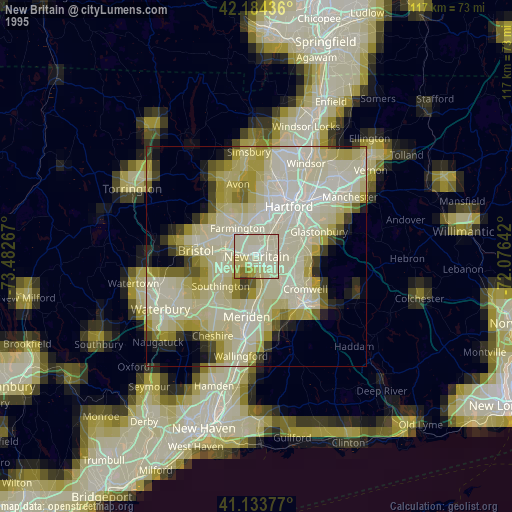
» NASA, Earths city lights 1995
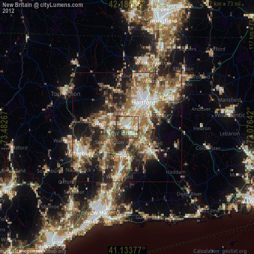
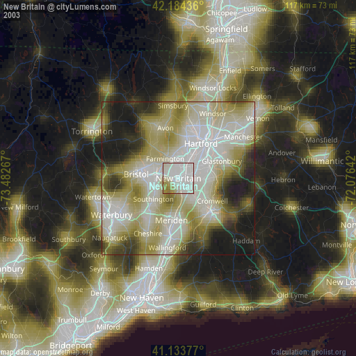
» NASA city lights 2003
» Earth at Night: Flat Maps 2012, 2016