Bridgeport night lights from space
Night Light of Bridgeport (Connecticut) from space (United States) Src. Average luminocity for 10x10km area is 73.7597% and for 50x50km: 26.1246%.
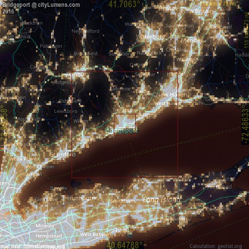
Analysis of Bridgeport night lights 2016
Square area 10x10 km:
 23.54%
90-99
23.21%80-89
5.52%70-79
7.79%60-69
12.18%50-59
4.87%40-49
3.57%30-39
5.03%20-29
12.5%10-19
1.79%0-9
0%Square area 50x50 km:
3.85%90-99
4.18%80-89
3.1%70-79
2.92%60-69
4.15%50-59
4.94%40-49
4.66%30-39
4.21%20-29
7.43%10-19
12.9%0-9
47.66%Clear (daylight) street map image can be seen on geolist.org.
Map coordinates:
41° 42' 22.7" North, 73° 53' 33.3" West
41° 10' 45.2" North, 73° 11' 22" West
40° 38' 52.4" North, 72° 29' 10.8" West
Some cities around Bridgeport sort by population:
• Fairfield
7.5 km =4.7 mi,  235°
235°
• Milford
12.1 km =7.5 mi,  66°
66°
• Stratford
4.7 km =2.9 mi,  82°
82°
• City of Milford (balance)
11.8 km =7.3 mi, 65°
• Shelton
17.3 km =10.7 mi,  27°
27°
• Trumbull
7.1 km =4.4 mi,  352°
352°
• Westport
14.7 km =9.1 mi,  253°
253°
• Easton
12.2 km =7.6 mi,  312°
312°
5282804 (p: 147,629)
Sources (retrieved 2019-11-25):
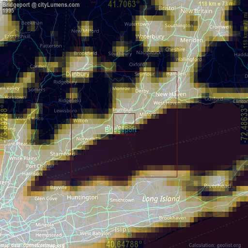
» NASA, Earths city lights 1995
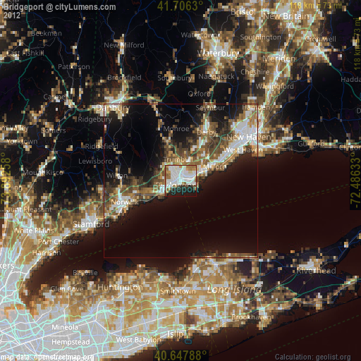
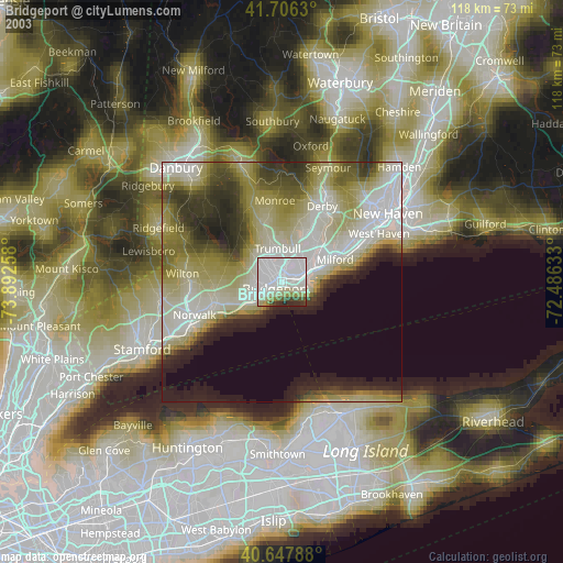
» NASA city lights 2003
» Earth at Night: Flat Maps 2012, 2016