Westmont night lights from space
Night Light of Westmont (California) from space (United States) Src. Average luminocity for 10x10km area is 99.9038% and for 50x50km: 75.8526%.
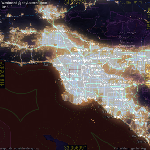
Analysis of Westmont night lights 2016
Square area 10x10 km:
 95.45%
90-99
4.55%80-89
0%70-79
0%60-69
0%50-59
0%40-49
0%30-39
0%20-29
0%10-19
0%0-9
0%Square area 50x50 km:
44.2%90-99
17.84%80-89
4.74%70-79
4.6%60-69
4.19%50-59
2.75%40-49
1.92%30-39
1.65%20-29
2.61%10-19
2.59%0-9
12.9%Clear (daylight) street map image can be seen on geolist.org.
Map coordinates:
34° 31' 21.8" North, 119° 0' 19.5" West
33° 56' 29" North, 118° 18' 8.3" West
33° 21' 21.9" North, 117° 35' 57" West
Some cities around Westmont sort by population:
• Inglewood
5.2 km =3.2 mi,  295°
295°
• Hawthorne
5.4 km =3.4 mi,  239°
239°
• Florence-Graham
6.1 km =3.8 mi,  61°
61°
• Gardena
5.9 km =3.7 mi,  185°
185°
• Willowbrook
5.1 km =3.2 mi,  121°
121°
• Lennox
4.7 km =2.9 mi,  265°
265°
• West Athens
2 km =1.2 mi,  182°
182°
• West Rancho Dominguez
6 km =3.7 mi,  151°
151°
5408431 (p: 31,853)
Sources (retrieved 2019-11-25):
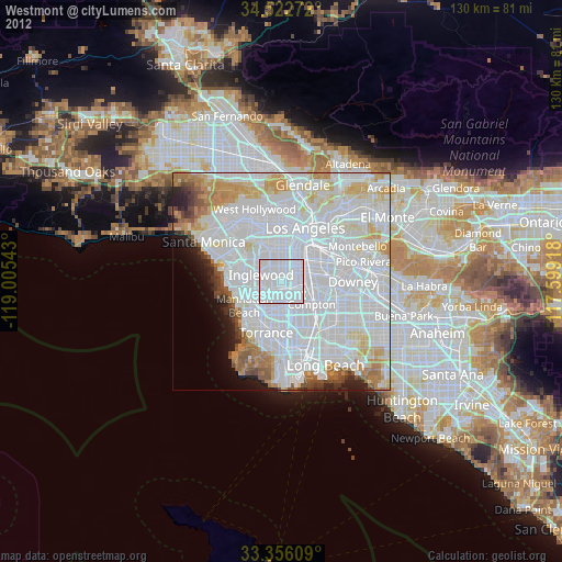
» Earth at Night: Flat Maps 2012, 2016