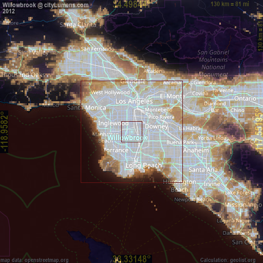
Willowbrook night lights from space
Night Light of Willowbrook (California) from space (United States) Src. Average luminocity for 10x10km area is 100% and for 50x50km: 79.4066%.

Analysis of Willowbrook night lights 2016
Square area 10x10 km:
 100%
100%90-99
0%80-89
0%70-79
0%60-69
0%50-59
0%40-49
0%30-39
0%20-29
0%10-19
0%0-9
0%Square area 50x50 km:
46.37%90-99
19.07%80-89
5.12%70-79
4.94%60-69
3.66%50-59
2.49%40-49
2%30-39
1.57%20-29
2.77%10-19
3.03%0-9
8.97%Clear (daylight) street map image can be seen on geolist.org.
Map coordinates:
34° 29' 54.4" North, 118° 57' 29.5" West
33° 55' 1.1" North, 118° 15' 18.3" West
33° 19' 53.3" North, 117° 33' 7" West
Some cities around Willowbrook sort by population:
• Compton
4 km =2.5 mi,  126°
126°
• South Gate
5.8 km =3.6 mi,  43°
43°
• Lynwood
4.3 km =2.7 mi,  69°
69°
• Florence-Graham
5.7 km =3.5 mi,  9°
9°
• Westmont
5.1 km =3.2 mi,  301°
301°
• East Rancho Dominguez
5.9 km =3.7 mi,  110°
110°
• West Athens
4.5 km =2.8 mi,  279°
279°
• West Rancho Dominguez
2.9 km =1.8 mi,  209°
209°
5409768 (p: 35,983)
Sources (retrieved 2019-11-25):
» Earth at Night: Flat Maps 2012, 2016