West Springfield night lights from space
Night Light of West Springfield (Virginia) from space (United States) Src. Average luminocity for 10x10km area is 84.267% and for 50x50km: 65.8982%.
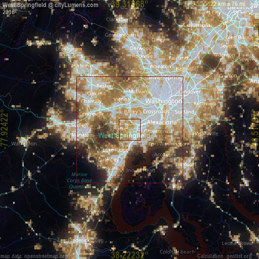
Analysis of West Springfield night lights 2016
Square area 10x10 km:
 20.92%
90-99
20.75%80-89
16.16%70-79
26.19%60-69
15.48%50-59
0.51%40-49
0%30-39
0%20-29
0%10-19
0%0-9
0%Square area 50x50 km:
19.17%90-99
14.34%80-89
8.4%70-79
11.41%60-69
10.87%50-59
6.98%40-49
4.65%30-39
4.96%20-29
6.1%10-19
6.01%0-9
7.12%Clear (daylight) street map image can be seen on geolist.org.
Map coordinates:
39° 19' 7.2" North, 77° 55' 27.2" West
38° 46' 21.4" North, 77° 13' 15.9" West
38° 13' 20.4" North, 76° 31' 4.7" West
Some cities around West Springfield sort by population:
• Burke
5 km =3.1 mi,  297°
297°
• Annandale
6.8 km =4.2 mi,  18°
18°
• Springfield
3.5 km =2.2 mi,  57°
57°
• Lorton
7.6 km =4.7 mi,  184°
184°
• Franconia
6.6 km =4.1 mi,  80°
80°
• Newington
4.9 km =3 mi,  140°
140°
• North Springfield
3.8 km =2.4 mi, 21°
• Laurel Hill
6.4 km =4 mi,  192°
192°
4792901 (p: 22,460)
Sources (retrieved 2019-11-25):
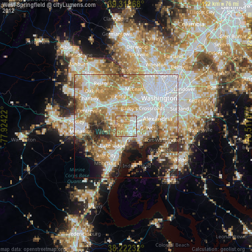
» Earth at Night: Flat Maps 2012, 2016