Burke night lights from space
Night Light of Burke (Virginia) from space (United States) Src. Average luminocity for 10x10km area is 76.4048% and for 50x50km: 65.9221%.
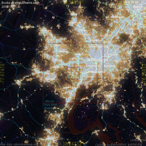
Analysis of Burke night lights 2016
Square area 10x10 km:
 10.2%
10.2%90-99
14.63%80-89
10.71%70-79
35.88%60-69
16.67%50-59
5.95%40-49
4.93%30-39
1.02%20-29
0%10-19
0%0-9
0%Square area 50x50 km:
17.93%90-99
14.78%80-89
8.74%70-79
11.72%60-69
11.24%50-59
7.18%40-49
4.79%30-39
5.2%20-29
5.86%10-19
5.65%0-9
6.91%Clear (daylight) street map image can be seen on geolist.org.
Map coordinates:
39° 20' 21.7" North, 77° 58' 29.2" West
38° 47' 36.4" North, 77° 16' 17.9" West
38° 14' 36" North, 76° 34' 6.7" West
Some cities around Burke sort by population:
• Springfield
7.3 km =4.5 mi,  93°
93°
• Fairfax
6.6 km =4.1 mi,  332°
332°
• West Springfield
5 km =3.1 mi,  117°
117°
• Kings Park West
3.1 km =1.9 mi,  318°
318°
• Fairfax Station
4.7 km =2.9 mi,  280°
280°
• Woodburn
6.7 km =4.2 mi,  27°
27°
• North Springfield
5.9 km =3.7 mi,  78°
78°
• Mantua
6.8 km =4.2 mi,  8°
8°
4749950 (p: 41,055)
Sources (retrieved 2019-11-25):
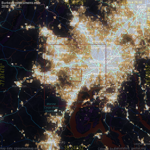
» Earth at Night: Flat Maps 2012, 2016