Springfield night lights from space
Night Light of Springfield (Virginia) from space (United States) Src. Average luminocity for 10x10km area is 90.4762% and for 50x50km: 69.8294%.
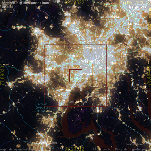
Analysis of Springfield night lights 2016
Square area 10x10 km:
 31.8%
31.8%90-99
30.61%80-89
13.95%70-79
20.24%60-69
3.4%50-59
0%40-49
0%30-39
0%20-29
0%10-19
0%0-9
0%Square area 50x50 km:
21.24%90-99
15.76%80-89
9%70-79
11.92%60-69
10.71%50-59
6.93%40-49
4.71%30-39
5.17%20-29
5.43%10-19
5.21%0-9
3.91%Clear (daylight) street map image can be seen on geolist.org.
Map coordinates:
39° 20' 6.8" North, 77° 53' 25.2" West
38° 47' 21.4" North, 77° 11' 13.9" West
38° 14' 20.8" North, 76° 29' 2.7" West
Some cities around Springfield sort by population:
• Annandale
4.6 km =2.9 mi,  350°
350°
• Lincolnia
5 km =3.1 mi,  49°
49°
• West Springfield
3.5 km =2.2 mi,  237°
237°
• Rose Hill
6.5 km =4 mi,  90°
90°
• Franconia
3.6 km =2.2 mi,  102°
102°
• Newington
5.7 km =3.5 mi,  178°
178°
• Lake Barcroft
7.1 km =4.4 mi,  22°
22°
• North Springfield
2.3 km =1.4 mi,  317°
317°
4787117 (p: 30,484)
Sources (retrieved 2019-11-25):
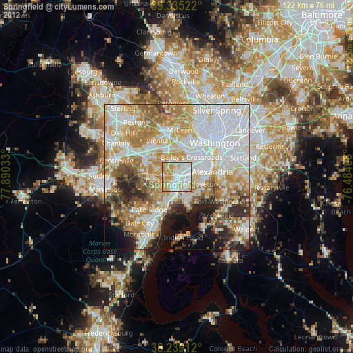
» Earth at Night: Flat Maps 2012, 2016