Annandale night lights from space
Night Light of Annandale (Virginia) from space (United States) Src. Average luminocity for 10x10km area is 88.1718% and for 50x50km: 73.851%.
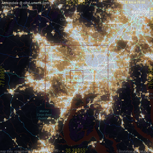
Analysis of Annandale night lights 2016
Square area 10x10 km:
 25.68%
90-99
25%80-89
16.5%70-79
30.61%60-69
2.21%50-59
0%40-49
0%30-39
0%20-29
0%10-19
0%0-9
0%Square area 50x50 km:
22.31%90-99
17.26%80-89
9.96%70-79
12.76%60-69
11.43%50-59
7.54%40-49
4.76%30-39
4.55%20-29
4.69%10-19
3.53%0-9
1.2%Clear (daylight) street map image can be seen on geolist.org.
Map coordinates:
39° 22' 33.7" North, 77° 53' 58.2" West
38° 49' 49.4" North, 77° 11' 46.9" West
38° 16' 50" North, 76° 29' 35.7" West
Some cities around Annandale sort by population:
• Springfield
4.6 km =2.9 mi,  170°
170°
• West Falls Church
3.9 km =2.4 mi,  10°
10°
• Lincolnia
4.8 km =3 mi,  106°
106°
• Merrifield
5.6 km =3.5 mi,  331°
331°
• Lake Barcroft
4 km =2.5 mi,  61°
61°
• Seven Corners
5.8 km =3.6 mi,  37°
37°
• Woodburn
3.9 km =2.4 mi,  298°
298°
• North Springfield
3 km =1.9 mi,  193°
193°
4744468 (p: 41,008)
Sources (retrieved 2019-11-25):
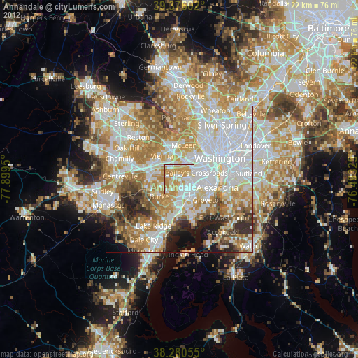
» Earth at Night: Flat Maps 2012, 2016