West Seneca night lights from space
Night Light of West Seneca (New York) from space (United States) Src. Average luminocity for 10x10km area is 87.2571% and for 50x50km: 32.106%.
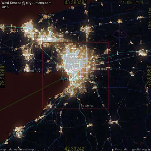
Analysis of West Seneca night lights 2016
Square area 10x10 km:
 32.7%
32.7%90-99
25.4%80-89
10.79%70-79
11.11%60-69
17.14%50-59
2.22%40-49
0%30-39
0.63%20-29
0%10-19
0%0-9
0%Square area 50x50 km:
6.76%90-99
5.97%80-89
3.47%70-79
4.19%60-69
4.77%50-59
5.11%40-49
5.16%30-39
4.7%20-29
5.74%10-19
9.09%0-9
45.04%Clear (daylight) street map image can be seen on geolist.org.
Map coordinates:
43° 21' 48.2" North, 79° 30' 10.4" West
42° 51' 0.2" North, 78° 47' 59.1" West
42° 19' 56.7" North, 78° 5' 47.9" West
Some cities around West Seneca sort by population:
• Buffalo
7.6 km =4.7 mi,  302°
302°
• Cheektowaga
7 km =4.3 mi,  31°
31°
• Lackawanna
3.3 km =2.1 mi,  215°
215°
• Fort Erie, CA
12.2 km =7.6 mi, 297°
• Depew
10.6 km =6.6 mi,  55°
55°
• Eggertsville
12.6 km =7.8 mi,  358°
358°
• Lancaster
12 km =7.5 mi, 61°
• Williamsville
13.6 km =8.5 mi,  21°
21°
5143992 (p: 44,711)
Sources (retrieved 2019-11-25):
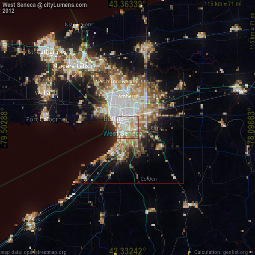
» Earth at Night: Flat Maps 2012, 2016