West Lawn night lights from space
Night Light of West Lawn (Illinois) from space (United States) Src. Average luminocity for 10x10km area is 100% and for 50x50km: 77.9952%.
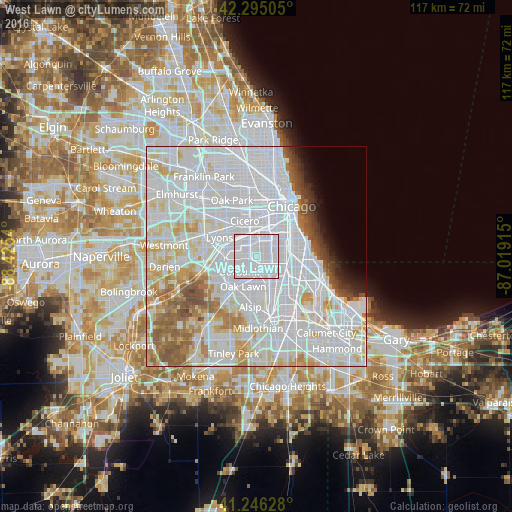
Analysis of West Lawn night lights 2016
Square area 10x10 km:
 100%
100%90-99
0%80-89
0%70-79
0%60-69
0%50-59
0%40-49
0%30-39
0%20-29
0%10-19
0%0-9
0%Square area 50x50 km:
43.92%90-99
18.05%80-89
7.07%70-79
4.35%60-69
4.19%50-59
4.34%40-49
2.12%30-39
1.41%20-29
1.36%10-19
1.84%0-9
11.36%Clear (daylight) street map image can be seen on geolist.org.
Map coordinates:
42° 17' 42.2" North, 88° 25' 31.4" West
41° 46' 22.1" North, 87° 43' 20.2" West
41° 14' 46.6" North, 87° 1' 8.9" West
Some cities around West Lawn sort by population:
• Chicago Lawn
2.2 km =1.4 mi,  83°
83°
• Brighton Park
5.5 km =3.4 mi,  20°
20°
• Ashburn
3 km =1.9 mi,  161°
161°
• Gage Park
3.3 km =2.1 mi,  41°
41°
• New City
6.7 km =4.2 mi,  54°
54°
• Burbank
6.4 km =4 mi,  227°
227°
• Englewood
6.4 km =4 mi, 83°
• Evergreen Park
6.1 km =3.8 mi, 163°
4916028 (p: 32,749)
Sources (retrieved 2019-11-25):
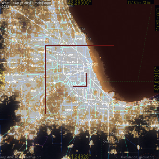
» Earth at Night: Flat Maps 2012, 2016