Ashburn night lights from space
Night Light of Ashburn (Illinois) from space (United States) Src. Average luminocity for 10x10km area is 100% and for 50x50km: 77.8043%.
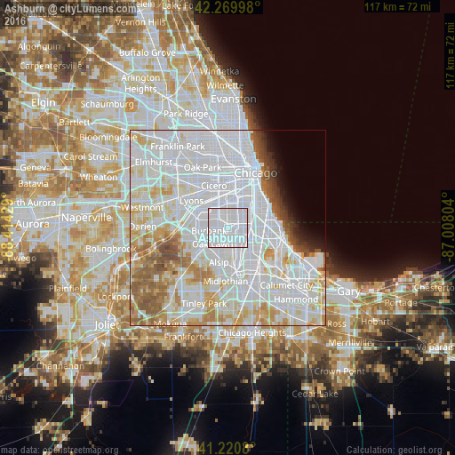
Analysis of Ashburn night lights 2016
Square area 10x10 km:
 100%
100%90-99
0%80-89
0%70-79
0%60-69
0%50-59
0%40-49
0%30-39
0%20-29
0%10-19
0%0-9
0%Square area 50x50 km:
41.84%90-99
18.15%80-89
7.45%70-79
5.64%60-69
4.98%50-59
4.53%40-49
2.01%30-39
1.38%20-29
1.29%10-19
1.77%0-9
10.96%Clear (daylight) street map image can be seen on geolist.org.
Map coordinates:
42° 16' 11.9" North, 88° 24' 51.4" West
41° 44' 51.1" North, 87° 42' 40.2" West
41° 13' 14.9" North, 87° 0' 28.9" West
Some cities around Ashburn sort by population:
• Chicago Lawn
3.3 km =2.1 mi,  21°
21°
• Auburn Gresham
4.8 km =3 mi,  97°
97°
• Gage Park
5.4 km =3.4 mi,  13°
13°
• West Lawn
3 km =1.9 mi,  341°
341°
• West Englewood
5 km =3.1 mi,  47°
47°
• Evergreen Park
3.1 km =1.9 mi,  165°
165°
• West Elsdon
5.3 km =3.3 mi,  347°
347°
• Mount Greenwood
5.5 km =3.4 mi,  177°
177°
4883679 (p: 42,752)
Sources (retrieved 2019-11-25):
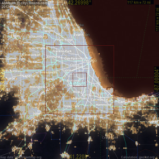
» Earth at Night: Flat Maps 2012, 2016