New City night lights from space
Night Light of New City (Illinois) from space (United States) Src. Average luminocity for 10x10km area is 98.9864% and for 50x50km: 67.9773%.
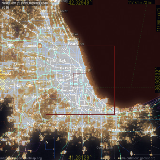
Analysis of New City night lights 2016
Square area 10x10 km:
 90%
90%90-99
7.42%80-89
0%70-79
0.15%60-69
2.42%50-59
0%40-49
0%30-39
0%20-29
0%10-19
0%0-9
0%Square area 50x50 km:
41.53%90-99
15.1%80-89
3.97%70-79
2.93%60-69
2.95%50-59
3.06%40-49
2.22%30-39
1.79%20-29
1.81%10-19
2.56%0-9
22.07%Clear (daylight) street map image can be seen on geolist.org.
Map coordinates:
42° 19' 46.2" North, 88° 21' 34.5" West
41° 48' 27.1" North, 87° 39' 23.2" West
41° 16' 52.6" North, 86° 57' 12" West
Some cities around New City sort by population:
• Brighton Park
3.7 km =2.3 mi,  289°
289°
• Gage Park
3.6 km =2.2 mi,  247°
247°
• Bridgeport
3.4 km =2.1 mi,  7°
7°
• West Englewood
3.4 km =2.1 mi,  194°
194°
• Englewood
3.2 km =2 mi,  164°
164°
• Grand Boulevard
3.3 km =2.1 mi,  77°
77°
• Douglas
4.4 km =2.7 mi,  46°
46°
• McKinley Park
3 km =1.9 mi,  332°
332°
4903466 (p: 40,997)
Sources (retrieved 2019-11-25):
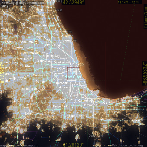
» Earth at Night: Flat Maps 2012, 2016