Englewood night lights from space
Night Light of Englewood (Illinois) from space (United States) Src. Average luminocity for 10x10km area is 99.914% and for 50x50km: 69.8019%.
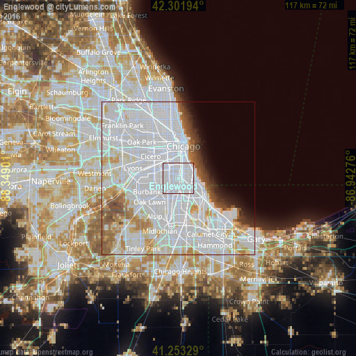
Analysis of Englewood night lights 2016
Square area 10x10 km:
 93.83%
90-99
6.17%80-89
0%70-79
0%60-69
0%50-59
0%40-49
0%30-39
0%20-29
0%10-19
0%0-9
0%Square area 50x50 km:
41.6%90-99
15.55%80-89
5.02%70-79
3.49%60-69
3.19%50-59
2.96%40-49
2.16%30-39
1.76%20-29
1.74%10-19
2.44%0-9
20.11%Clear (daylight) street map image can be seen on geolist.org.
Map coordinates:
42° 18' 7" North, 88° 20' 56.4" West
41° 46' 47.1" North, 87° 38' 45.2" West
41° 15' 11.8" North, 86° 56' 33.9" West
Some cities around Englewood sort by population:
• Chicago Lawn
4.2 km =2.6 mi,  262°
262°
• Auburn Gresham
4.3 km =2.7 mi,  188°
188°
• Gage Park
4.5 km =2.8 mi,  292°
292°
• New City
3.2 km =2 mi,  344°
344°
• Greater Grand Crossing
3.3 km =2.1 mi,  128°
128°
• West Englewood
1.7 km =1.1 mi, 263°
• Woodlawn
3.8 km =2.4 mi,  90°
90°
• Grand Boulevard
4.5 km =2.8 mi,  31°
31°
4891176 (p: 26,121)
Sources (retrieved 2019-11-25):
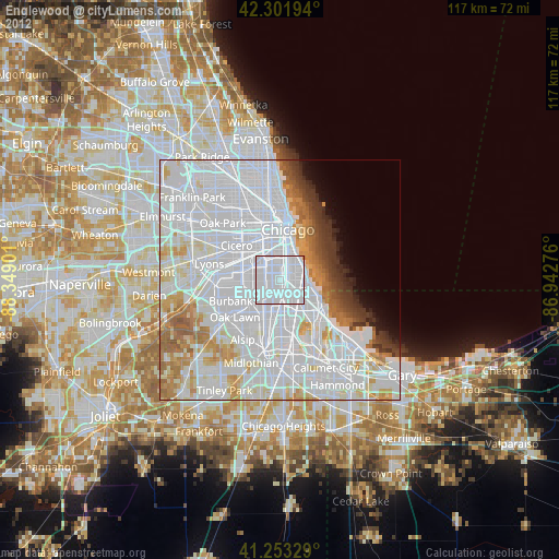
» Earth at Night: Flat Maps 2012, 2016