West Englewood night lights from space
Night Light of West Englewood (Illinois) from space (United States) Src. Average luminocity for 10x10km area is 99.9773% and for 50x50km: 71.9743%.
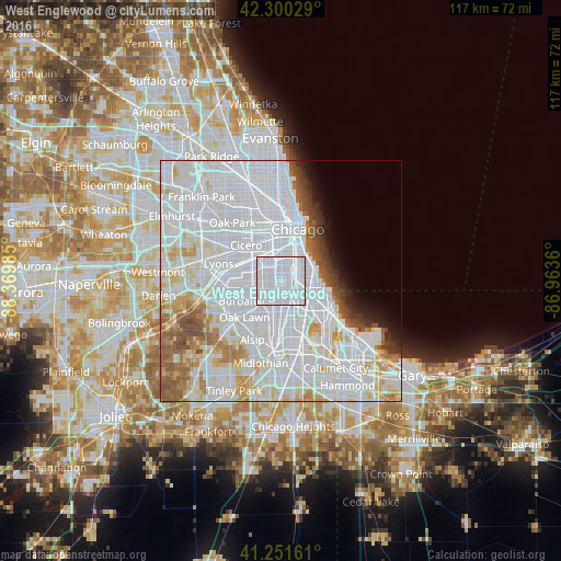
Analysis of West Englewood night lights 2016
Square area 10x10 km:
 98.21%
90-99
1.79%80-89
0%70-79
0%60-69
0%50-59
0%40-49
0%30-39
0%20-29
0%10-19
0%0-9
0%Square area 50x50 km:
42.22%90-99
16.15%80-89
5.34%70-79
3.67%60-69
3.57%50-59
3.66%40-49
2.2%30-39
1.68%20-29
1.61%10-19
2.3%0-9
17.61%Clear (daylight) street map image can be seen on geolist.org.
Map coordinates:
42° 18' 1" North, 88° 22' 11.5" West
41° 46' 41.1" North, 87° 40' 0.2" West
41° 15' 5.8" North, 86° 57' 49" West
Some cities around West Englewood sort by population:
• Chicago Lawn
2.5 km =1.6 mi,  262°
262°
• Auburn Gresham
4.2 km =2.6 mi,  164°
164°
• Brighton Park
5.3 km =3.3 mi,  329°
329°
• Ashburn
5 km =3.1 mi,  227°
227°
• Gage Park
3.1 km =1.9 mi,  307°
307°
• New City
3.4 km =2.1 mi,  14°
14°
• Greater Grand Crossing
4.7 km =2.9 mi,  113°
113°
• Englewood
1.7 km =1.1 mi,  83°
83°
4915989 (p: 32,156)
Sources (retrieved 2019-11-25):
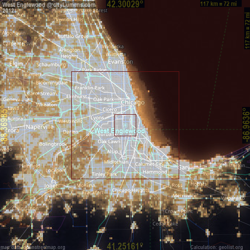
» Earth at Night: Flat Maps 2012, 2016