West Bend night lights from space
Night Light of West Bend (Wisconsin) from space (United States) Src. Average luminocity for 10x10km area is 46.1349% and for 50x50km: 12.9257%.
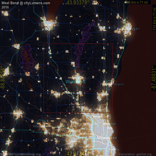
Analysis of West Bend night lights 2016
Square area 10x10 km:
 7.94%
7.94%90-99
9.05%80-89
9.37%70-79
4.44%60-69
6.35%50-59
5.71%40-49
3.97%30-39
2.7%20-29
15.56%10-19
31.75%0-9
3.17%Square area 50x50 km:
1.11%90-99
1.51%80-89
2.08%70-79
1.2%60-69
1.69%50-59
1.85%40-49
2.25%30-39
1.77%20-29
4.82%10-19
11.9%0-9
69.82%Clear (daylight) street map image can be seen on geolist.org.
Map coordinates:
43° 56' 1.6" North, 88° 53' 11.6" West
43° 25' 31" North, 88° 11' 0.3" West
42° 54' 44.9" North, 87° 28' 49.1" West
Some cities around West Bend sort by population:
• Germantown
22.7 km =14.1 mi,  164°
164°
• Hartford
19.8 km =12.3 mi,  232°
232°
• Port Washington
25.2 km =15.7 mi,  99°
99°
• Richfield
18.8 km =11.7 mi,  182°
182°
• Grafton
22 km =13.7 mi,  122°
122°
• Cedarburg
21.3 km =13.2 mi,  132°
132°
• Jackson
11.4 km =7.1 mi,  173°
173°
• Slinger
13.1 km =8.1 mi,  219°
219°
5278422 (p: 31,695)
Sources (retrieved 2019-11-25):
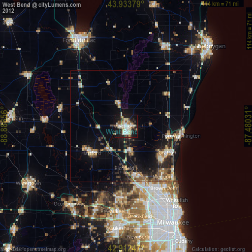
» Earth at Night: Flat Maps 2012, 2016