Webster Groves night lights from space
Night Light of Webster Groves (Missouri) from space (United States) Src. Average luminocity for 10x10km area is 92.3279% and for 50x50km: 67.6716%.
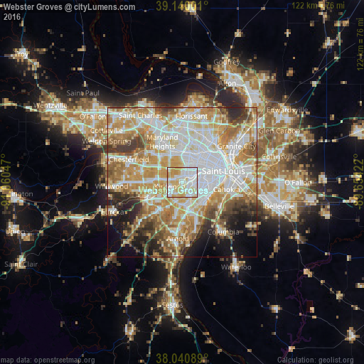
Analysis of Webster Groves night lights 2016
Square area 10x10 km:
 36.85%
90-99
27.92%80-89
22.73%70-79
12.01%60-69
0.49%50-59
0%40-49
0%30-39
0%20-29
0%10-19
0%0-9
0%Square area 50x50 km:
18.75%90-99
15.81%80-89
9.29%70-79
12.47%60-69
9.89%50-59
6.69%40-49
4.59%30-39
5.13%20-29
5.41%10-19
6.66%0-9
5.3%Clear (daylight) street map image can be seen on geolist.org.
Map coordinates:
39° 8' 24" North, 91° 3' 37.7" West
38° 35' 33.2" North, 90° 21' 26.4" West
38° 2' 27.2" North, 89° 39' 15.2" West
Some cities around Webster Groves sort by population:
• Kirkwood
4.4 km =2.7 mi,  256°
256°
• Affton
5.1 km =3.2 mi,  155°
155°
• Crestwood
4.5 km =2.8 mi,  208°
208°
• Richmond Heights
5.2 km =3.2 mi,  39°
39°
• Brentwood
2.9 km =1.8 mi,  14°
14°
• Maplewood
3.6 km =2.2 mi,  52°
52°
• Shrewsbury
1.8 km =1.1 mi,  97°
97°
• Glendale
1.8 km =1.1 mi,  282°
282°
4413872 (p: 23,177)
Sources (retrieved 2019-11-25):
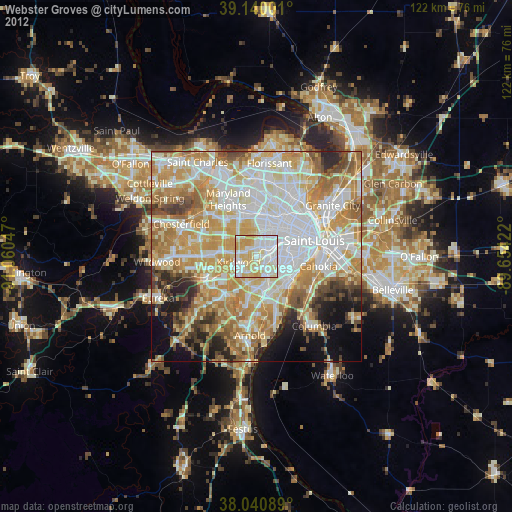
» Earth at Night: Flat Maps 2012, 2016