Kirkwood night lights from space
Night Light of Kirkwood (Missouri) from space (United States) Src. Average luminocity for 10x10km area is 86.6364% and for 50x50km: 65.2222%.
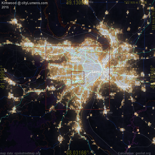
Analysis of Kirkwood night lights 2016
Square area 10x10 km:
 19.16%
90-99
23.05%80-89
24.35%70-79
29.22%60-69
4.22%50-59
0%40-49
0%30-39
0%20-29
0%10-19
0%0-9
0%Square area 50x50 km:
18.32%90-99
15.14%80-89
8.92%70-79
11.79%60-69
9.02%50-59
6.47%40-49
4.15%30-39
5.14%20-29
5.73%10-19
8.15%0-9
7.17%Clear (daylight) street map image can be seen on geolist.org.
Map coordinates:
39° 7' 51.3" North, 91° 6' 35.7" West
38° 35' 0.2" North, 90° 24' 24.4" West
38° 1' 54" North, 89° 42' 13.2" West
Some cities around Kirkwood sort by population:
• Webster Groves
4.4 km =2.7 mi,  76°
76°
• Crestwood
3.7 km =2.3 mi,  143°
143°
• Town and Country
5.9 km =3.7 mi,  303°
303°
• Des Peres
3 km =1.9 mi,  310°
310°
• Sunset Hills
4.9 km =3 mi,  180°
180°
• Sappington
5.7 km =3.5 mi,  155°
155°
• Shrewsbury
6.1 km =3.8 mi, 82°
• Glendale
2.9 km =1.8 mi,  61°
61°
4393739 (p: 27,750)
Sources (retrieved 2019-11-25):
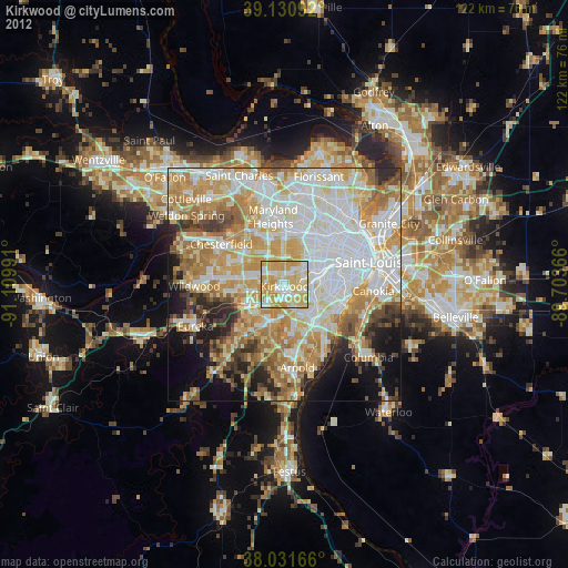
» Earth at Night: Flat Maps 2012, 2016