Affton night lights from space
Night Light of Affton (Missouri) from space (United States) Src. Average luminocity for 10x10km area is 92.0146% and for 50x50km: 62.7627%.
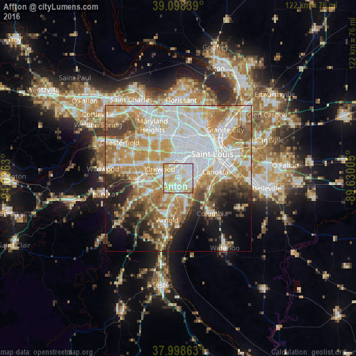
Analysis of Affton night lights 2016
Square area 10x10 km:
 31.66%
90-99
30.68%80-89
26.46%70-79
9.74%60-69
1.46%50-59
0%40-49
0%30-39
0%20-29
0%10-19
0%0-9
0%Square area 50x50 km:
17.58%90-99
14.31%80-89
8.49%70-79
11.44%60-69
8.76%50-59
6.54%40-49
4.11%30-39
4.99%20-29
5.07%10-19
8.06%0-9
10.64%Clear (daylight) street map image can be seen on geolist.org.
Map coordinates:
39° 5' 54.2" North, 91° 2' 10.7" West
38° 33' 2.2" North, 90° 19' 59.4" West
37° 59' 55.1" North, 89° 37' 48.2" West
Some cities around Affton sort by population:
• Mehlville
4.8 km =3 mi,  169°
169°
• Webster Groves
5.1 km =3.2 mi,  335°
335°
• Lemay
5.1 km =3.2 mi,  112°
112°
• Concord
3.6 km =2.2 mi,  215°
215°
• Crestwood
4.3 km =2.7 mi,  279°
279°
• Sappington
4.3 km =2.7 mi,  249°
249°
• Shrewsbury
4.4 km =2.7 mi,  355°
355°
• Glendale
6.3 km =3.9 mi,  322°
322°
4374513 (p: 20,307)
Sources (retrieved 2019-11-25):
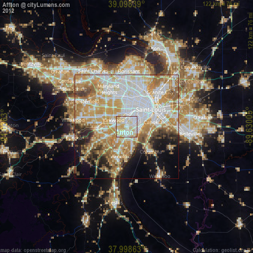
» Earth at Night: Flat Maps 2012, 2016