Watertown night lights from space
Night Light of Watertown (New York) from space (United States) Src. Average luminocity for 10x10km area is 38.5921% and for 50x50km: 4.5816%.
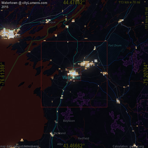
Analysis of Watertown night lights 2016
Square area 10x10 km:
 7.14%
7.14%90-99
7.94%80-89
6.35%70-79
3.81%60-69
3.97%50-59
2.54%40-49
4.44%30-39
1.9%20-29
10.95%10-19
41.11%0-9
9.84%Square area 50x50 km:
0.49%90-99
0.85%80-89
0.55%70-79
0.49%60-69
0.65%50-59
0.54%40-49
0.41%30-39
0.36%20-29
1%10-19
4.9%0-9
89.75%Clear (daylight) street map image can be seen on geolist.org.
Map coordinates:
44° 28' 43" North, 76° 36' 50" West
43° 58' 29.2" North, 75° 54' 38.7" West
43° 27' 59.8" North, 75° 12' 27.5" West
Some cities around Watertown sort by population:
• Kingston, CA
53.6 km =33.3 mi,  301°
301°
• Brockville, CA
70.8 km =44 mi,  14°
14°
• Oswego
75.2 km =46.7 mi,  219°
219°
• Fort Drum
15.1 km =9.4 mi,  51°
51°
• Fulton
83.2 km =51.7 mi,  209°
209°
• Volney
78.9 km =49 mi, 207°
• Richland
46.4 km =28.8 mi,  193°
193°
• Gananoque, CA
44.8 km =27.8 mi,  332°
332°
5143396 (p: 26,780)
Sources (retrieved 2019-11-25):
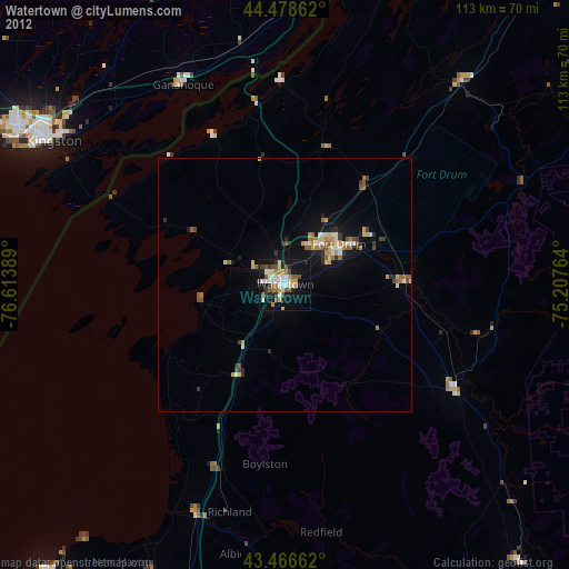
» Earth at Night: Flat Maps 2012, 2016