Brockville night lights from space
Night Light of Brockville (Ontario) from space (Canada) Src. Average luminocity for 10x10km area is 20.9348% and for 50x50km: 2.2747%.
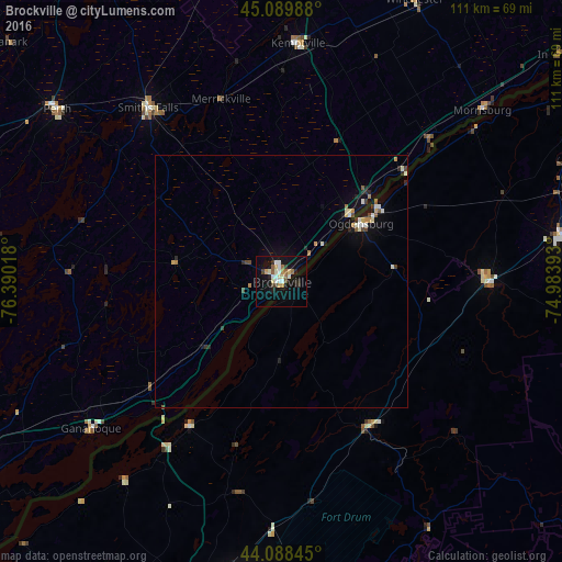
Analysis of Brockville night lights 2016
Square area 10x10 km:
 3.03%
3.03%90-99
3.79%80-89
3.18%70-79
2.27%60-69
1.97%50-59
2.73%40-49
1.21%30-39
1.97%20-29
3.79%10-19
20%0-9
56.06%Square area 50x50 km:
0.17%90-99
0.5%80-89
0.24%70-79
0.25%60-69
0.25%50-59
0.23%40-49
0.26%30-39
0.21%20-29
0.48%10-19
1.73%0-9
95.67%Clear (daylight) street map image can be seen on geolist.org.
Map coordinates:
45° 5' 23.6" North, 76° 23' 24.6" West
44° 35' 28.8" North, 75° 41' 13.4" West
44° 5' 18.4" North, 74° 59' 2.1" West
Some cities around Brockville sort by population:
• Fort Drum, US
59.6 km =37 mi,  185°
185°
• Ogdensburg, US
19.6 km =12.2 mi,  54°
54°
• Carleton Place
70.4 km =43.7 mi,  328°
328°
• Potsdam, US
56.5 km =35.1 mi,  81°
81°
• Smiths Falls
43.8 km =27.2 mi,  322°
322°
• Canton, US
41 km =25.5 mi,  89°
89°
• Perth
56.1 km =34.9 mi,  307°
307°
• Gananoque
47.6 km =29.6 mi,  232°
232°
5909294 (p: 23,886)
Sources (retrieved 2019-11-25):
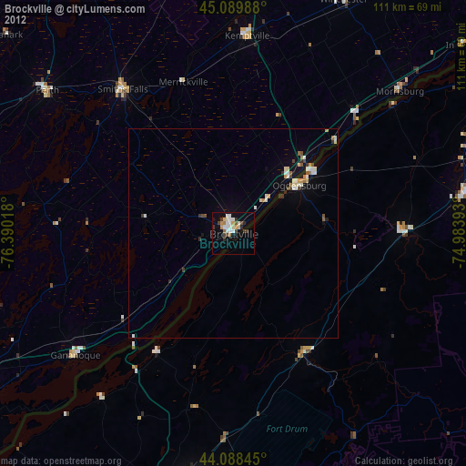
» Earth at Night: Flat Maps 2012, 2016