Waterloo night lights from space
Night Light of Waterloo (New York) from space (United States) Src. Average luminocity for 10x10km area is 16.4238% and for 50x50km: 4.5525%.
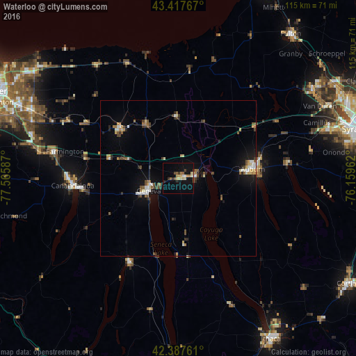
Analysis of Waterloo night lights 2016
Square area 10x10 km:
 0.63%
0.63%90-99
1.9%80-89
3.17%70-79
2.54%60-69
1.9%50-59
3.02%40-49
1.59%30-39
1.27%20-29
2.06%10-19
15.08%0-9
66.83%Square area 50x50 km:
0.44%90-99
0.64%80-89
0.54%70-79
0.47%60-69
0.51%50-59
0.76%40-49
0.65%30-39
0.64%20-29
0.69%10-19
2.85%0-9
91.81%Clear (daylight) street map image can be seen on geolist.org.
Map coordinates:
43° 25' 3.6" North, 77° 33' 57.1" West
42° 54' 17.2" North, 76° 51' 45.9" West
42° 23' 15.4" North, 76° 9' 34.6" West
Some cities around Waterloo sort by population:
• Auburn
24.3 km =15.1 mi,  82°
82°
• Geneva
10.2 km =6.3 mi,  246°
246°
• Canandaigua
34.8 km =21.6 mi,  264°
264°
• Newark
24.6 km =15.3 mi,  309°
309°
• Baldwinsville
51.5 km =32 mi,  56°
56°
• Seneca Falls
5.4 km =3.4 mi, 83°
• Centerport
26.7 km =16.6 mi, 55°
• Penn Yan
31.3 km =19.4 mi,  209°
209°
5143380 (p: 5,036)
Sources (retrieved 2019-11-25):
» Earth at Night: Flat Maps 2012, 2016