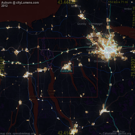
Auburn night lights from space
Night Light of Auburn (New York) from space (United States) Src. Average luminocity for 10x10km area is 33.5508% and for 50x50km: 5.0393%.
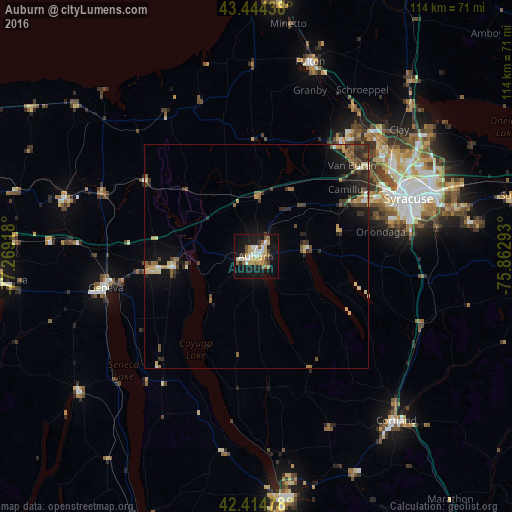
Analysis of Auburn night lights 2016
Square area 10x10 km:
 3.97%
3.97%90-99
5.56%80-89
7.46%70-79
4.76%60-69
3.02%50-59
5.56%40-49
2.38%30-39
1.27%20-29
3.65%10-19
40.32%0-9
22.06%Square area 50x50 km:
0.3%90-99
0.57%80-89
0.75%70-79
0.62%60-69
0.66%50-59
0.87%40-49
0.84%30-39
0.73%20-29
1.51%10-19
4.04%0-9
89.13%Clear (daylight) street map image can be seen on geolist.org.
Map coordinates:
43° 26' 39.8" North, 77° 16' 9" West
42° 55' 54.2" North, 76° 33' 57.8" West
42° 24' 53.2" North, 75° 51' 46.5" West
Some cities around Auburn sort by population:
• Syracuse
36.4 km =22.6 mi,  69°
69°
• Geneva
34.3 km =21.3 mi,  258°
258°
• Fairmount
29.6 km =18.4 mi,  64°
64°
• Baldwinsville
31.6 km =19.6 mi,  36°
36°
• Seneca Falls
18.9 km =11.7 mi, 262°
• Solvay
32.4 km =20.1 mi, 64°
• Centerport
12.3 km =7.6 mi,  349°
349°
• Waterloo
24.3 km =15.1 mi, 262°
5107505 (p: 26,985)
Sources (retrieved 2019-11-25):
» Earth at Night: Flat Maps 2012, 2016