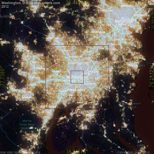
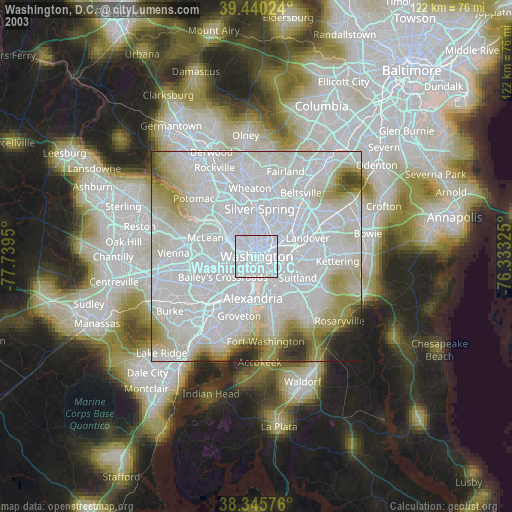
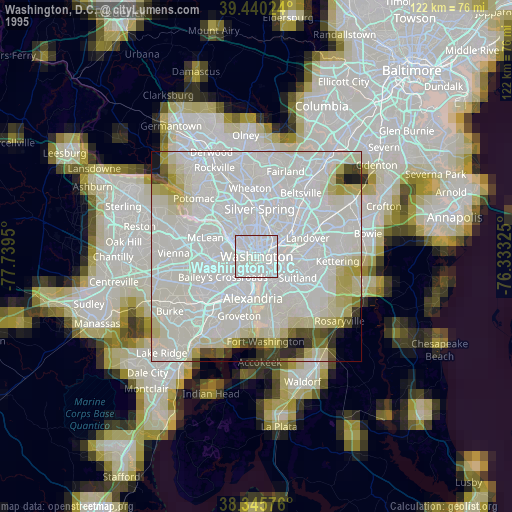
Washington, D.C. night lights from space
Night Light of Washington, D.C. from space (United States) Src. Average luminocity for 10x10km area is 98.5986% and for 50x50km: 77.1177%.
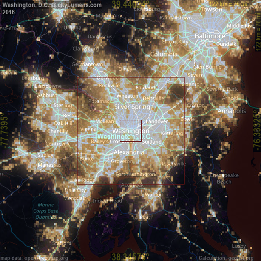
Analysis of Washington, D.C. night lights 2016
Square area 10x10 km:
 70.75%
90-99
23.98%80-89
4.25%70-79
1.02%60-69
0%50-59
0%40-49
0%30-39
0%20-29
0%10-19
0%0-9
0%Square area 50x50 km:
23.92%90-99
18.1%80-89
11.61%70-79
13.95%60-69
10.92%50-59
7.88%40-49
3.96%30-39
3.98%20-29
3.19%10-19
1.24%0-9
1.26%Clear (daylight) street map image can be seen on geolist.org.
Map coordinates:
39° 26' 24.9" North, 77° 44' 22.2" West
38° 53' 42.4" North, 77° 2' 10.9" West
38° 20' 44.7" North, 76° 19' 59.7" West
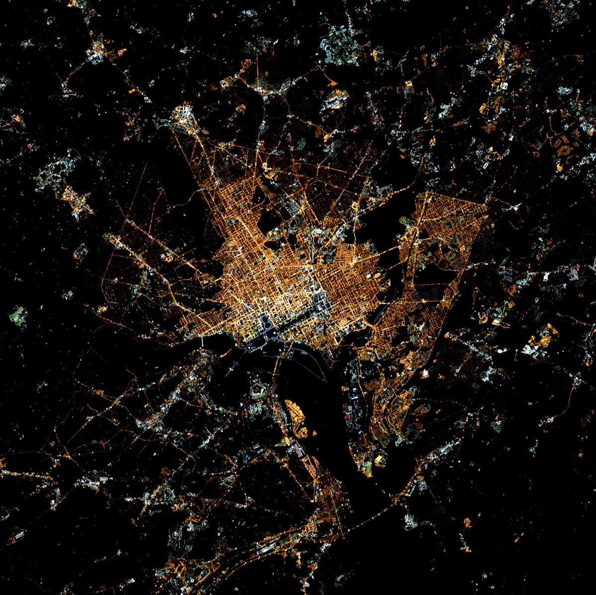
Fantastic image of Washington, D.C. from space taken by astronauts [src2], but I don't have information about it's orientation, scale or angle. If necessary, it was rotated manually, so North points approximately to upper direction. Click to zoom in:
Some cities around Washington, D.C. sort by population:
• Arlington
6.1 km =3.8 mi,  255°
255°
• Chillum
8.6 km =5.3 mi,  27°
27°
• Shaw
2.3 km =1.4 mi, 34°
• Glassmanor
9.1 km =5.7 mi,  158°
158°
• Adams Morgan
3 km =1.9 mi,  350°
350°
• Rosslyn
3.1 km =1.9 mi,  273°
273°
• Chevy Chase
8.1 km =5 mi,  340°
340°
• Mount Rainier
8 km =5 mi,  50°
50°
4140963 (p: 601,723)
Sources (retrieved 2019-11-25):
» NASA, Earths city lights 1995
» NASA city lights 2003
» Earth at Night: Flat Maps 2012, 2016
Src.2: Tim Kopra, Twitter/@astro_tim, 2016-03-29