Arlington night lights from space
Night Light of Arlington (Virginia) from space (United States) Src. Average luminocity for 10x10km area is 96.6156% and for 50x50km: 76.7057%.
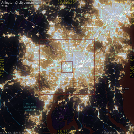
Analysis of Arlington night lights 2016
Square area 10x10 km:
 53.57%
90-99
32.48%80-89
9.01%70-79
4.93%60-69
0%50-59
0%40-49
0%30-39
0%20-29
0%10-19
0%0-9
0%Square area 50x50 km:
24.15%90-99
17.77%80-89
10.84%70-79
13.38%60-69
11.73%50-59
7.38%40-49
4.05%30-39
4.39%20-29
4.19%10-19
1.99%0-9
0.14%Clear (daylight) street map image can be seen on geolist.org.
Map coordinates:
39° 25' 34.5" North, 77° 48' 26.7" West
38° 52' 51.6" North, 77° 6' 15.4" West
38° 19' 53.6" North, 76° 24' 4.2" West
Some cities around Arlington sort by population:
• Washington, D.C.
6.1 km =3.8 mi,  75°
75°
• West Falls Church
7.5 km =4.7 mi,  256°
256°
• Baileys Crossroads
4.1 km =2.5 mi,  212°
212°
• Adams Morgan
7 km =4.3 mi,  50°
50°
• Falls Church
5.8 km =3.6 mi,  271°
271°
• Rosslyn
3.3 km =2.1 mi,  57°
57°
• Lake Barcroft
5.8 km =3.6 mi,  230°
230°
• Seven Corners
4.5 km =2.8 mi, 257°
4744709 (p: 207,627)
Sources (retrieved 2019-11-25):
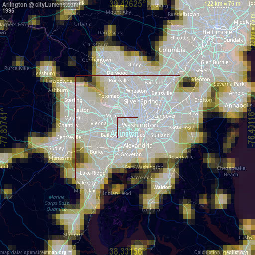
» NASA, Earths city lights 1995
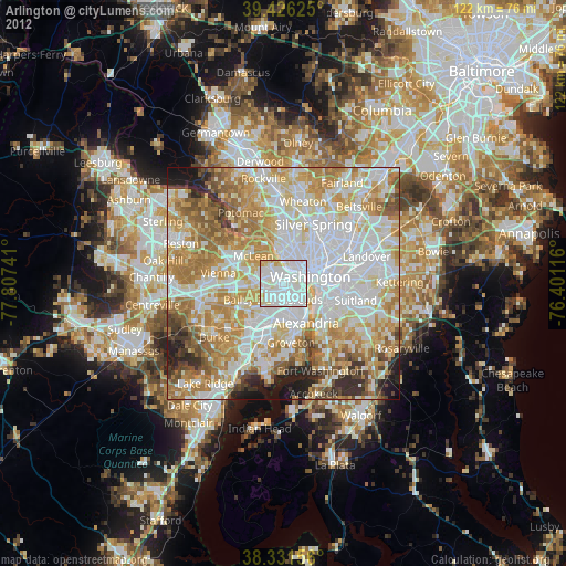
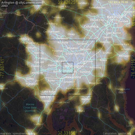
» NASA city lights 2003
» Earth at Night: Flat Maps 2012, 2016