Warner Robins night lights from space
Night Light of Warner Robins (Georgia) from space (United States) Src. Average luminocity for 10x10km area is 87.1381% and for 50x50km: 24.4078%.
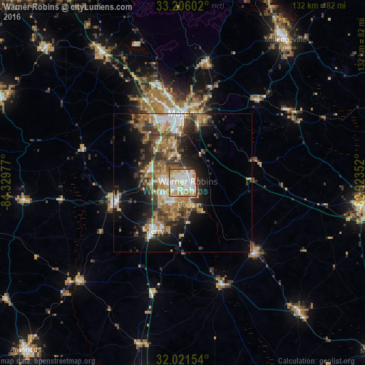
Analysis of Warner Robins night lights 2016
Square area 10x10 km:
 26.22%
90-99
30.94%80-89
13.81%70-79
14.51%60-69
9.44%50-59
2.45%40-49
0.87%30-39
1.05%20-29
0.7%10-19
0%0-9
0%Square area 50x50 km:
3.73%90-99
3.75%80-89
2.4%70-79
4.54%60-69
4.64%50-59
3.3%40-49
3.52%30-39
5.08%20-29
5.4%10-19
9.58%0-9
54.06%Clear (daylight) street map image can be seen on geolist.org.
Map coordinates:
33° 12' 21.7" North, 84° 19' 47.2" West
32° 36' 56.7" North, 83° 37' 35.9" West
32° 1' 17.5" North, 82° 55' 24.7" West
Some cities around Warner Robins sort by population:
• Macon
25 km =15.5 mi,  358°
358°
• Milledgeville
63.4 km =39.4 mi,  35°
35°
• Perry
20.1 km =12.5 mi,  209°
209°
• Fort Valley
25.4 km =15.8 mi,  254°
254°
• Centerville
6.1 km =3.8 mi,  285°
285°
• Hawkinsville
39.7 km =24.7 mi,  158°
158°
• Eastman
62.7 km =39 mi,  137°
137°
• Byron
13.2 km =8.2 mi, 288°
4229476 (p: 73,490)
Sources (retrieved 2019-11-25):
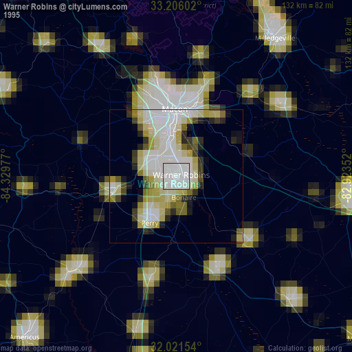
» NASA, Earths city lights 1995
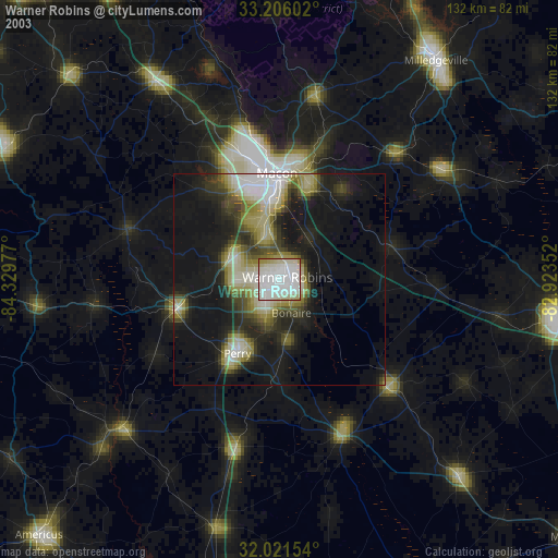
» NASA city lights 2003
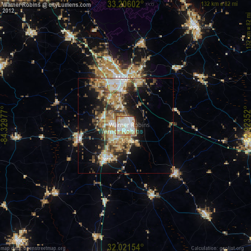
» Earth at Night: Flat Maps 2012, 2016