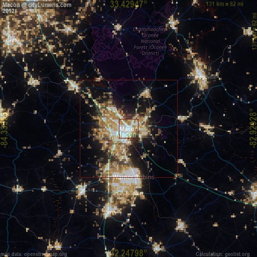
Macon night lights from space
Night Light of Macon (Georgia) from space (United States) Src. Average luminocity for 10x10km area is 77.6224% and for 50x50km: 23.8509%.

Analysis of Macon night lights 2016
Square area 10x10 km:
 25.87%
90-99
22.2%80-89
5.24%70-79
10.49%60-69
12.41%50-59
6.64%40-49
6.12%30-39
8.22%20-29
2.8%10-19
0%0-9
0%Square area 50x50 km:
3.45%90-99
3.23%80-89
2.22%70-79
4.22%60-69
4.77%50-59
3.65%40-49
3.23%30-39
6.03%20-29
5.2%10-19
10%0-9
53.99%Clear (daylight) street map image can be seen on geolist.org.
Map coordinates:
33° 25' 46.1" North, 84° 20' 7.9" West
32° 50' 26.5" North, 83° 37' 56.6" West
32° 14' 52.7" North, 82° 55' 45.4" West
Some cities around Macon sort by population:
• Warner Robins
25 km =15.5 mi,  178°
178°
• Milledgeville
45.9 km =28.5 mi,  54°
54°
• Perry
43.5 km =27 mi,  192°
192°
• Fort Valley
39.8 km =24.7 mi,  216°
216°
• Centerville
24 km =14.9 mi, 192°
• Barnesville
54.3 km =33.7 mi,  295°
295°
• Eatonton
58.6 km =36.4 mi,  22°
22°
• Byron
23.9 km =14.9 mi,  209°
209°
4207400 (p: 91,351)
Sources (retrieved 2019-11-25):
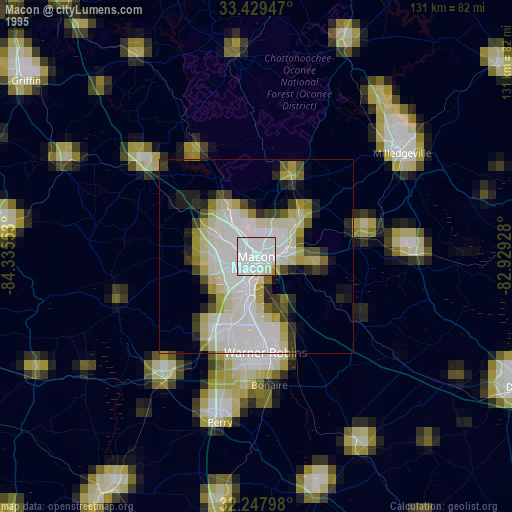
» NASA, Earths city lights 1995
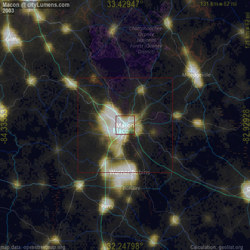
» NASA city lights 2003
» Earth at Night: Flat Maps 2012, 2016