Watertown night lights from space
Night Light of Watertown (Massachusetts) from space (United States) Src. Average luminocity for 10x10km area is 92.1667% and for 50x50km: 58.6827%.
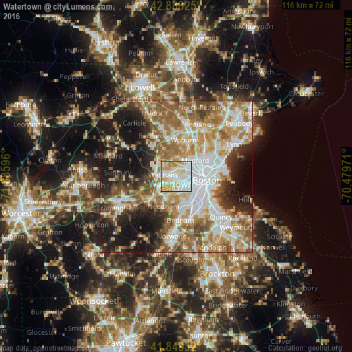
Analysis of Watertown night lights 2016
Square area 10x10 km:
 41.43%
90-99
26.98%80-89
14.76%70-79
13.17%60-69
3.65%50-59
0%40-49
0%30-39
0%20-29
0%10-19
0%0-9
0%Square area 50x50 km:
14.11%90-99
12.51%80-89
6.86%70-79
8.08%60-69
10.61%50-59
9.6%40-49
5.93%30-39
4.78%20-29
8.37%10-19
14.49%0-9
4.65%Clear (daylight) street map image can be seen on geolist.org.
Map coordinates:
42° 53' 17.7" North, 71° 53' 9.5" West
42° 22' 15.3" North, 71° 10' 58.2" West
41° 50' 57.6" North, 70° 28' 47" West
Some cities around Watertown sort by population:
• Cambridge
6.4 km =4 mi,  85°
85°
• Newton
4.3 km =2.7 mi,  209°
209°
• Somerville
7.1 km =4.4 mi,  74°
74°
• Waltham
4.4 km =2.7 mi,  278°
278°
• Brookline
6.7 km =4.2 mi,  130°
130°
• Medford
8.2 km =5.1 mi,  50°
50°
• Arlington
5.4 km =3.4 mi,  23°
23°
• Belmont
2.8 km =1.7 mi,  7°
7°
4954611 (p: 31,915)
Sources (retrieved 2019-11-25):
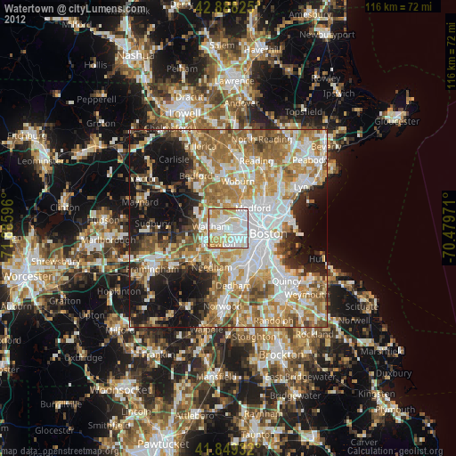
» Earth at Night: Flat Maps 2012, 2016