Waller night lights from space
Night Light of Waller (Washington) from space (United States) Src. Average luminocity for 10x10km area is 76.1235% and for 50x50km: 36.3789%.
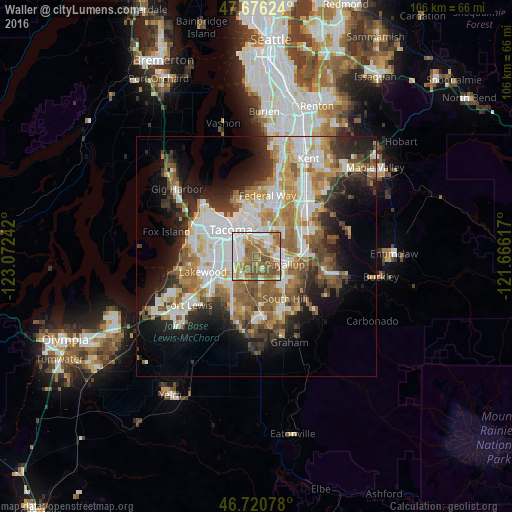
Analysis of Waller night lights 2016
Square area 10x10 km:
 17.26%
90-99
19.94%80-89
5.36%70-79
13.84%60-69
14.88%50-59
23.81%40-49
4.91%30-39
0%20-29
0%10-19
0%0-9
0%Square area 50x50 km:
8.29%90-99
7.45%80-89
3.14%70-79
4.98%60-69
6.18%50-59
6.22%40-49
4.14%30-39
4.18%20-29
6.72%10-19
9.96%0-9
38.73%Clear (daylight) street map image can be seen on geolist.org.
Map coordinates:
47° 40' 34.5" North, 123° 4' 20.7" West
47° 12' 2.4" North, 122° 22' 9.4" West
46° 43' 14.8" North, 121° 39' 58.2" West
Some cities around Waller sort by population:
• Puyallup
6 km =3.7 mi,  106°
106°
• Parkland
7 km =4.3 mi,  224°
224°
• Fife
4.4 km =2.7 mi,  12°
12°
• Edgewood
7.9 km =4.9 mi,  46°
46°
• Midland
4.6 km =2.9 mi, 215°
• Summit
4.4 km =2.7 mi,  167°
167°
• Milton
6.8 km =4.2 mi,  38°
38°
• Summit View
7.3 km =4.5 mi, 169°
5814941 (p: 7,922)
Sources (retrieved 2019-11-25):
» Earth at Night: Flat Maps 2012, 2016