Puyallup night lights from space
Night Light of Puyallup (Washington) from space (United States) Src. Average luminocity for 10x10km area is 72.125% and for 50x50km: 35.598%.
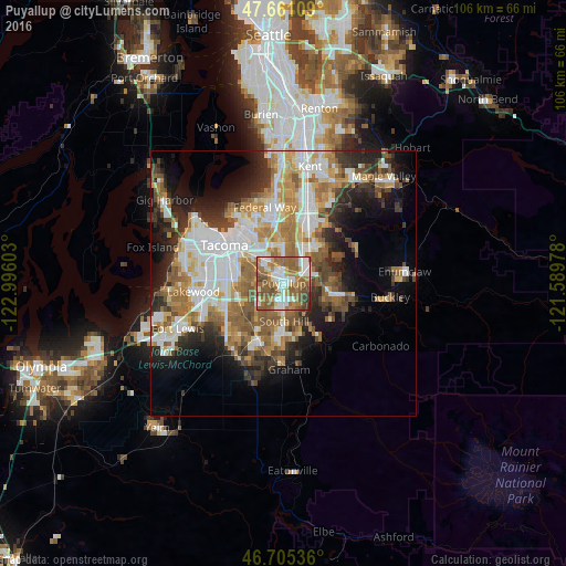
Analysis of Puyallup night lights 2016
Square area 10x10 km:
 15.63%
90-99
14.58%80-89
4.46%70-79
11.01%60-69
19.64%50-59
24.7%40-49
7.59%30-39
1.64%20-29
0.74%10-19
0%0-9
0%Square area 50x50 km:
8.04%90-99
7.21%80-89
3.05%70-79
4.97%60-69
6.15%50-59
6.23%40-49
4.16%30-39
4.22%20-29
6.34%10-19
9.11%0-9
40.51%Clear (daylight) street map image can be seen on geolist.org.
Map coordinates:
47° 39' 39.9" North, 122° 59' 45.7" West
47° 11' 7.4" North, 122° 17' 34.4" West
46° 42' 19.3" North, 121° 35' 23.2" West
Some cities around Puyallup sort by population:
• South Hill
5.2 km =3.2 mi,  160°
160°
• Fife
7.7 km =4.8 mi,  321°
321°
• Edgewood
7.2 km =4.5 mi,  359°
359°
• Sumner
4.4 km =2.7 mi,  63°
63°
• Summit
5.5 km =3.4 mi,  241°
241°
• Waller
6 km =3.7 mi,  286°
286°
• Milton
7.1 km =4.4 mi,  347°
347°
• Summit View
7.1 km =4.4 mi,  219°
219°
5807575 (p: 39,659)
Sources (retrieved 2019-11-25):
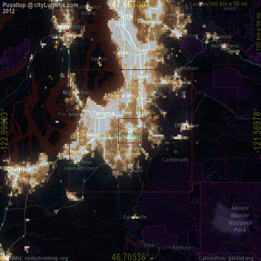
» Earth at Night: Flat Maps 2012, 2016