Parkland night lights from space
Night Light of Parkland (Washington) from space (United States) Src. Average luminocity for 10x10km area is 75.4886% and for 50x50km: 33.9232%.
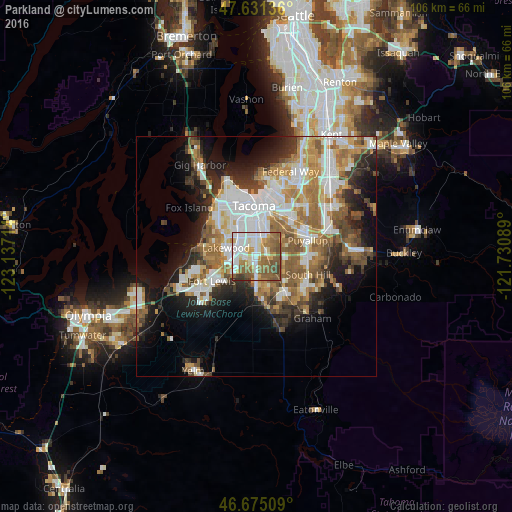
Analysis of Parkland night lights 2016
Square area 10x10 km:
 19.32%
90-99
21.16%80-89
4.83%70-79
9.8%60-69
11.36%50-59
23.15%40-49
6.25%30-39
3.98%20-29
0.14%10-19
0%0-9
0%Square area 50x50 km:
7.75%90-99
6.81%80-89
2.75%70-79
4.75%60-69
5.84%50-59
6.16%40-49
3.97%30-39
3.63%20-29
5.91%10-19
9.9%0-9
42.52%Clear (daylight) street map image can be seen on geolist.org.
Map coordinates:
47° 37' 52.9" North, 123° 8' 13.7" West
47° 9' 19.4" North, 122° 26' 2.4" West
46° 40' 30.3" North, 121° 43' 51.2" West
Some cities around Parkland sort by population:
• Tacoma
10.9 km =6.8 mi,  355°
355°
• Lakewood
6.6 km =4.1 mi,  285°
285°
• Spanaway
5.7 km =3.5 mi,  180°
180°
• Frederickson
8.7 km =5.4 mi,  139°
139°
• Midland
2.6 km =1.6 mi,  59°
59°
• Summit
5.9 km =3.7 mi,  83°
83°
• Waller
7 km =4.3 mi,  44°
44°
• Summit View
6.6 km =4.1 mi,  108°
108°
5806253 (p: 35,803)
Sources (retrieved 2019-11-25):
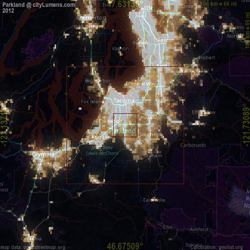
» Earth at Night: Flat Maps 2012, 2016